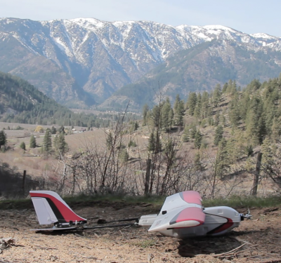
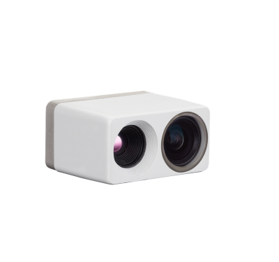
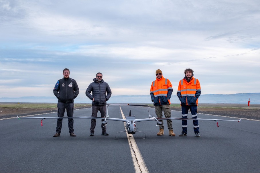
Carbonix, in collaboration with RIEGL and Phase One, has achieved a novel integration in aerial surveying by successfully mounting RIEGL’s VUX-120 LiDAR sensor and Phase One’s iXM 100 medium format camera on Carbonix’s fixed-wing VTOL platform. This integration represents an advancement in remote sensing and geospatial data collection, particularly beneficial for the linear infrastructure and mining sectors.
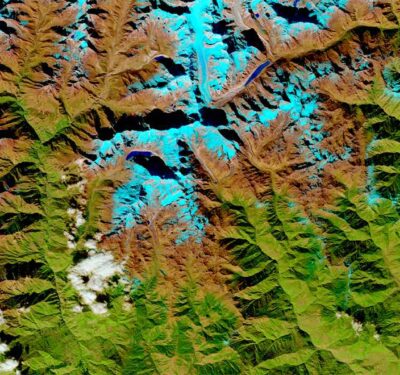
The collaborative effort has enabled the capture of large-scale, detailed, colorized 3D models of infrastructure and terrain over expansive areas, covering more than 12,000 hectares in a single mission in Australia and the US. This marks a notable leap in commercial operations’ efficiency and data collection quality.
Philip van der Burg, CEO of Carbonix, emphasized the partnership’s role in pushing the boundaries of remote sensing technology. This collaboration equips sectors with crucial multi-modal information for decision-making and digital twin creation with unparalleled accuracy. By combining LiDAR’s precision in 3D data collection with photographic imaging’s rich surface detail, Carbonix can offer comprehensive solutions for environmental assessment and asset management.
RIEGL Australia’s Managing Director, Glenne Blyth, and Michael Messerschmidt, Director of Product Management, Unmanned at Phase One, both highlighted the integration’s potential to revolutionize aerial imaging and mapping. They noted the scalability of drone-collected images and LiDAR data as essential for adapting to rapid real-world changes.
The integration not only enhances operational efficiency by allowing the deployment of multiple high-resolution sensors in a single flight but also significantly reduces costs by up to 80% compared to traditional survey methods. With the capacity to map over 12,000 hectares or cover a linear distance of up to 400 km per mission, Carbonix drones offer an expanded scope of comprehensive area mapping.