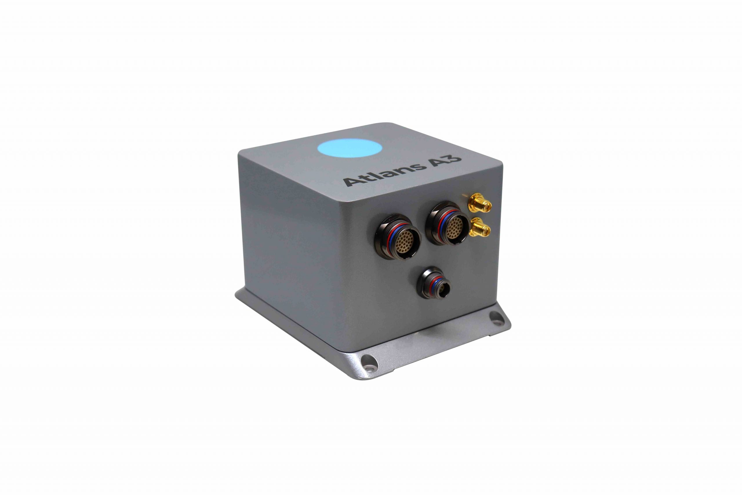
 iXblue, a Denver-based high-tech company specializing in the design and manufacturing of advanced navigation and georeferencing solutions, announces the launch of a new range of cost-effective FOG-based INS dedicated to land and air mobile mapping applications, the Atlans Series.
Based on iXblue’s Fiber-Optic Gyroscope (FOG) technology, the Atlans Series is a scalable range of north-seeking and north-keeping Inertial Navigation Systems. Cost-effective, it provides FOG performance to the full spectrum of land and air mobile mapping applications and offer highly accurate positioning (up to 0.01m) in all conditions, including within GNSS-denied environments such as urban canyons and mountainous or forests areas.
“Our existing high-grade Atlans A7 INS had already been adopted as the preferred georeferencing solution by leading U.S. companies operating in the pavement condition survey industry,” Marine Slingue, vp iXblue, Inc. explained. “Having identified the high potential of our technology for other land and mobile mapping applications, we decided to develop a complete range of scalable INS that each meet the specific requirements of every applications.” The Atlans Series INS will bring the georeferencing accuracy performance offered by the FOG technology to land and air mapping applications, enabling robust and uninterrupted data-acquisition operations.
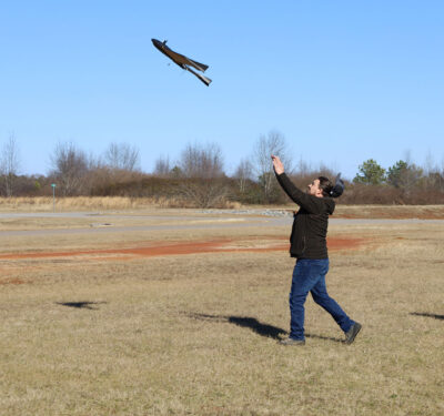
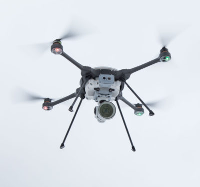
Quick and simple to install, the new Atlans Series INS offers efficient “set-and-forget” operations for a wide range of land and air applications, including asset inventory, pavement condition survey, vehicle automation, HD mapping, automotive testing, ground-truth and airborne surveys (UAVs, planes, helicopters), as well as precision pointing.