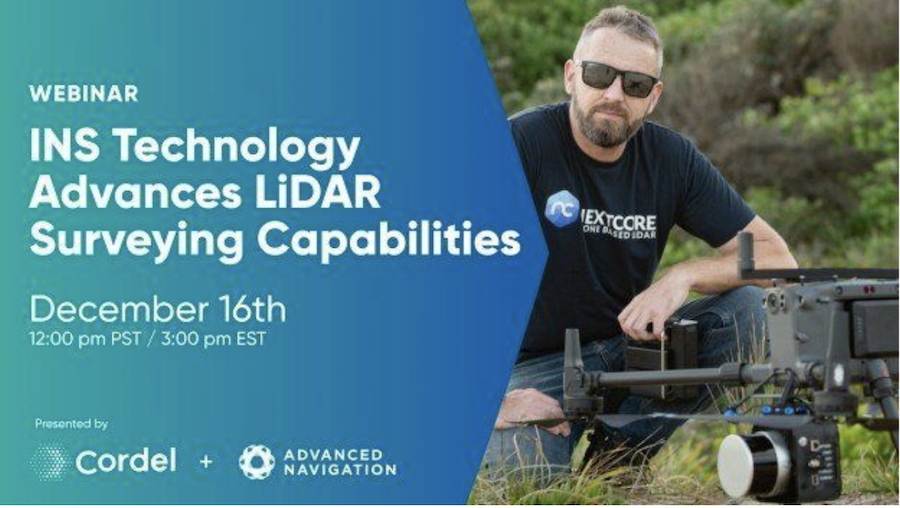
Join Adam Barnes, Head of Product at Advanced Navigation, and Ashley Cox, Chief Operating Officer at Cordel, to find out how the latest LiDAR and navigation technologies are revolutionizing surveying.
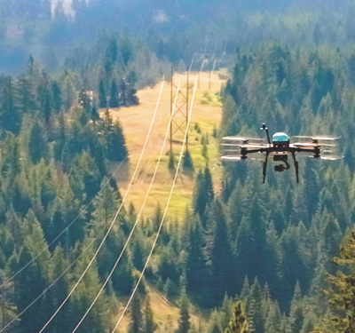
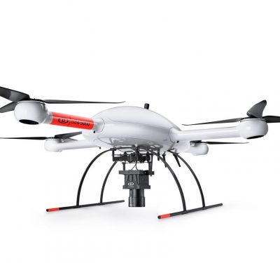
In this webinar, Adam and Ashley will deep-dive into LiDAR surveying and explain how Cordel leveraged innovative technology to push the boundaries of the industry. They will cover the challenges in UAV-based surveying, in balancing cost and altitude restrictions, with LiDAR point density and INS accuracy to achieve the best overall solution.
Land-based surveying will also be discussed, where GNSS denied environments introduce particular challenges in the overall solution.
They will also talk about the current evolution of the tech stack and what to expect in the future.
If you’re not able to make the session time, a recording of the webinar will be available for all registrants.
To register: https://lu.ma/xd5ag3ow
About Advanced Navigation: Advanced Navigation is a worldwide leader in AI-based navigation solutions and robotics. The company develops solutions from the ground up with a long-standing history of building bespoke hardware and software for our customers.
About Cordel: NextCore is the leading developer of UAV LiDAR payload systems across the world. The NextCore company is part of the Cordel Group which improves the inspection and visualisation of assets through the utilisation of hardware and software technology including LiDAR and Artificial Intelligence.