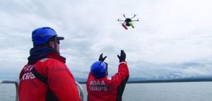
 The National Oceanic and Atmospheric Administration (NOAA) is turning to drone technology to capture important data more and more these days, which is why the agency is creating a new Unmanned Systems Operations Program.
NOAA deploys UAS to collect environmental data for science, products and services, according to a news release. The new program will promote safe, efficient and economical use of the technology for these purposes.
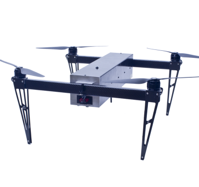
The agency’s UxS systems operate autonomously or are remotely piloted. Applications include seafloor and habitat mapping, ocean exploration, marine mammal and fishery stock assessments, emergency response and at-sea observations that help improve extreme event forecasting.
The program is being established within NOAA’s Office of Marine and Aviation Operations (OMAO). This is the office that operates, manages and maintains the agency’s fleet of ships and aircraft. It also oversees diving and small boat safety programs. Services offered will include training, cybersecurity, acquisition and expert support.
“Unmanned airborne and maritime systems are transforming how we conduct earth science at NOAA,” retired Navy Rear Adm. Timothy Gallaudet, Ph.D., deputy NOAA administrator said, according to the release. “Our new Unmanned Systems Operations Program will help us dramatically increase the application and use of these technologies in every NOAA mission area.”
The NOAA Aircraft Operations Center in Lakeland, Florida, will continue to support the agency’s unmanned aircraft activities. The Mississippi State Port Authority is building a new facility in partnership with the University of Southern Mississippi in Gulfport, Mississippi, to support unmanned maritime systems.
NOAA recently received $12.7 million to improve and expand drone operations, which includes creating this program.