For the fourth year, Saildrone and NOAA are sailing a fleet of USVs into hurricanes to better understand how these storms form, track and intensify. They are deploying 12 vehicles stationed in six operational areas identified by NOAA as having a high probability of intercepting a storm.
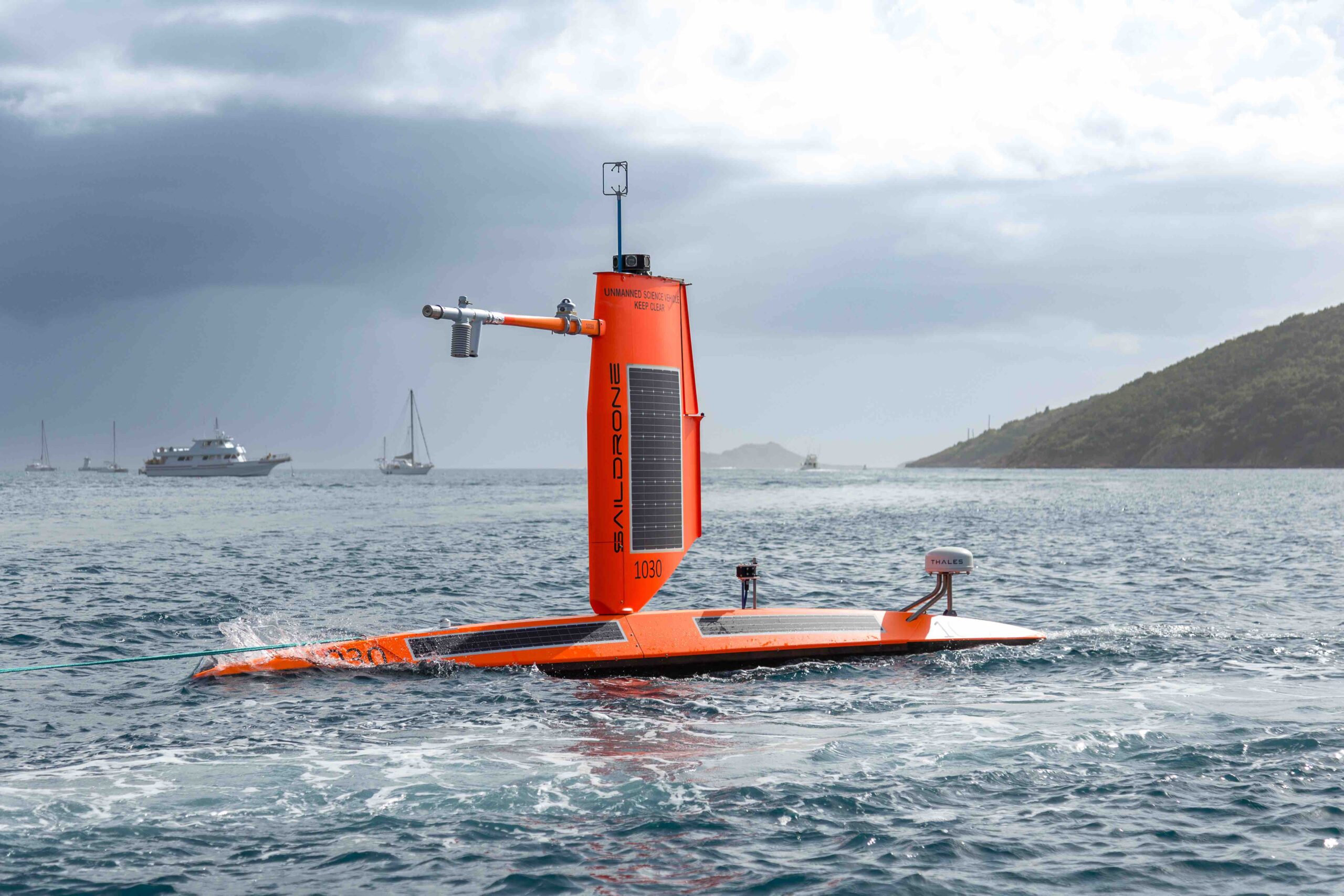
Saildrone Explorer USVs are 23 feet long and carry a payload of sensors to measure air, surface and water temperature as well as humidity, barometric pressure, wind speed and direction, salinity and wave height. To withstand major hurricane conditions—winds over 110 mph and waves that exceed 50 feet—they have a shorter and stronger “hurricane wing,” similar to a reefed sail on a sailboat.
Saildrone USVs sail autonomously along prescribed routes, which are defined by Saildrone Pilots according to weather conditions and to meet mission objectives. Saildrone’s science partners in the mission at NOAA’s Atlantic Oceanographic & Meteorological Laboratory (AOML) and Pacific Marine Environmental Laboratory (PMEL) will work closely with Saildrone Mission Control to guide the saildrones into oncoming hurricanes.
“It’s not known how hurricanes affect the exchange of CO2 between the ocean and the atmosphere and how that impacts the global carbon budget,” said Greg Foltz, a NOAA oceanographer and one of the mission’s principal investigators. “If we can get one of these two USVs into a major storm, it would give us some of the first direct measurements of air-sea CO2 exchange inside a hurricane.”
As the final group of saildrones was readied for deployment, Tropical Storm Debby was forming in the Gulf of Mexico. Just days after SD-1057 was deployed, the USV sailed through the eye of Hurricane Debby hours before the storm made landfall in Florida. Powered solely by renewable wind and solar energy, the Saildrone fleet will stay at sea for the duration of the mission, which will last through October.