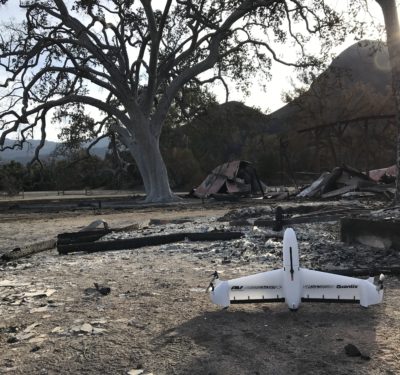
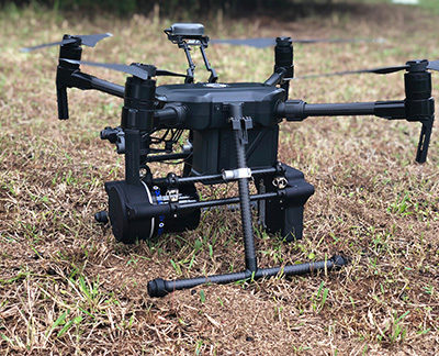
AeroVironment is working with the National Park Service Inventory and Monitoring Program to assess the environmental impact of the Woolsey…
Aerial Photography
Intel Collaborates with Two Departments of Transportation for UAS Bridge Inspections
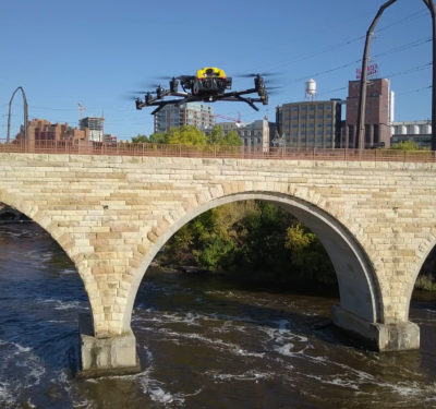
Intel recently worked with the Minnesota Department of Transportation (MnDOT) and the Kentucky Transportation Cabinet (KYTC) to more efficiently and…
UMS SKELDAR’s UAS Selected for Emissions Monitoring and Maritime Surveillance
The V-200 vertical take-off and landing (VTOL) drone from UMS SKELDAR was recently selected for a multi-million Euro contract along…
New LiDAR-driven Security Solution Designed to Help Secure Sensitive Perimeters
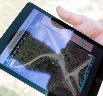
Quanergy Systems, Inc. recently released a first-of-its-kind LiDAR-driven security solution designed to provide a cost-effective and technology-based way to monitor…
New Topcon Software Designed to Facilitate UAV Inspection Applications
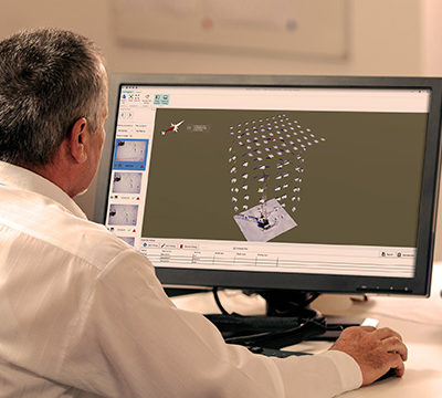
Topcon Positioning Group recently released new software designed to facilitate data processing workflow for UAV (unmanned aerial vehicle) infrastructure inspection…
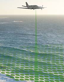
Airborne LiDAR Bathymetry Technology Allows Fugro to Survey Polynesian Island Country of Tuvalu
Fugro has been awarded a contract by the United Nations Development Programme (UNDP) to survey the Polynesian island country of…
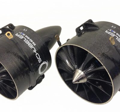
Microdrones Announces Merger with Schübeler Technologies
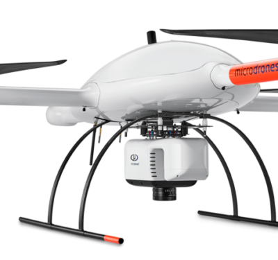
Siegen, Germany — As part of ongoing global expansion, Microdrones today announced a merger with Schübeler Technologies. Since its founding in…
Measure Acquires Security Clearance, FAA Waiver to Fly within the DC Flight Restricted Zone
International aerial intelligence provider Measure has completed a drone flight in the DC Metropolitan Flight Restricted Zone (FRZ) as a…
Terra Drone Acquires Majority Stake in Skeye
Japan-based Terra Drone recently acquired a majority stake in Skeye, a European drone service provider. Skeye will become the…
European Drone Regulations Discussed at EASA High Level Conference in Amsterdam
Drone experts from all over the world are gathering in Amsterdam this week for this year’s EASA High Level Conference on…
Small Diamonds May Soon Be Used to Recharge Civilian Drones in Flight
A small lab-developed diamond measuring a few millimeters per side could one day enable civilian drones to be recharged in…
Quanergy Announces Partnership with LiDAR USA to Integrate M8 Ultra Sensors in Mapping Solutions
Quanergy Systems, Inc., which designs and manufactures LiDAR sensors and smart sensing solutions, today announced a partnership with LiDAR…
International LiDAR Mapping Forum Keynotes Feature Thought Leaders from USGS, NASA, Ithaca College, The Digit Group
The organizers of International LiDAR Mapping Forum, a leading technical conference and expo that showcases the latest airborne, terrestrial and…
Aurora Flight Sciences Introduces Odysseus, a Solar-Powered Autonomous Aircraft
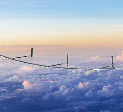
Aurora Flight Sciences recently introduced Odysseus, a solar-powered autonomous aircraft. The aircraft is described as an “ultra-long endurance, high-altitude platform,”…
100 Intel Drones to be Part of The 2018 Christmas Spectacular Starring The Radio City Rockettes
This year’s production of The Christmas Spectacular Starring the Radio City Rockettes, presented by Chase, will have a bit of…
Delair Introduces the UX11 Ag UAS
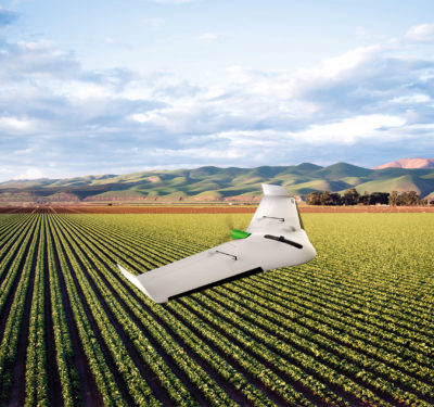
The new UX11 Ag unmanned aircraft system (UAS) from Delair is specifically designed for large scale surveying in agriculture and…
Microdrones Acquires Geomatics Service Provider Navmatica ME
As part of an ongoing global expansion, Microdrones has acquired geomatics service provider Navmatica Middle East, the company announced last…


