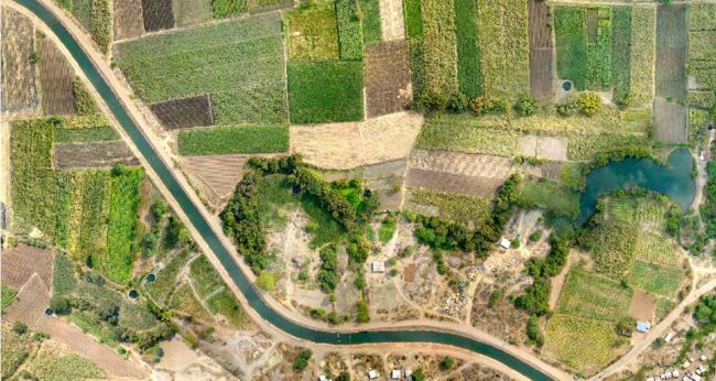
Terra Drone India surveyed 1,085 villages and averaged 120 square kilometers a day.
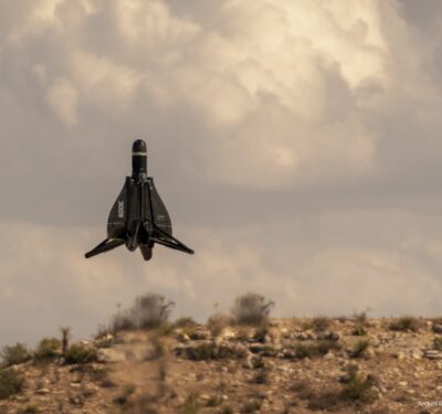
Terra Drone India recently flew UAS over 4,200 square kilometers of agricultural land to complete a survey for the Water Resources Department of the Maharashtra Krishna Valley Development Corporation (MKVDC) in India.
Water reserves in Maharashtra have significantly declined in recent years, making optimum water use a priority, according to a news release. To help with this, MKVDC wanted to update its agricultural maps, which are decades old. The organization also wanted to make sure crops weren’t being sown in areas shown as non-irrigated land to avoid use charges.
Terra Drone India surveyed 1,085 villages and averaged 120 square kilometers a day. The team acquired images with 2 cm/pixel resolution and was able to complete the project in two months despite weather challenges.
Terra Drone India also deployed field surveying teams to collect information about the types of crops being sown and irrigation methods being used by farmers.
“When we superimposed the aerial images acquired by our drones on the Maharashtra government’s old maps, it was discovered that in some areas, unirrigated land was being used for cultivation purposes, while in others, previously fertile land had been converted into human settlements,” Terra Drone India CEO Prateek Srivastava said.
With the data acquired, MKVDC was able to update its maps in half the time it would have taken had they used traditional surveying methods. Officials also got a clear picture of the crops sown and the type of irrigation being used.
“Traditionally, governments have used human-centric methods of surveying,” Terra Drone Wing Commander and COO Polu Sreedhar said, according to the release. “These methods not only lack verification and evidence, they are also prone to manual errors. Drone surveys, meanwhile, give organizations clear evidence in the form of aerial imagery which they can use to improve their efficiency and increase their revenue. Further, the drone imagery can be preserved to inform future decision-making also.”