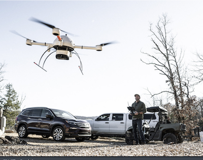
During UAS overflights on April 15, United States Geological Survey-Hawaiian Volcano Observatory (USGS-HVO) staff collected aerial imagery and volcanic gas concentration data to monitor the ongoing Kīlauea summit eruption.
This data aids in volcanic hazard assessment of the ongoing Kīlauea summit eruption. The eruption is currently in a pause, though there have been 17 eruptive episodes since December 23, 2024. HVO UAS flights are conducted with the permission of Hawaiʻi Volcanoes National Park, owing to HVO’s mission to monitor active volcanoes in Hawaii, assess their hazards, issue warnings, and advance scientific understanding to reduce the impacts of eruptions.
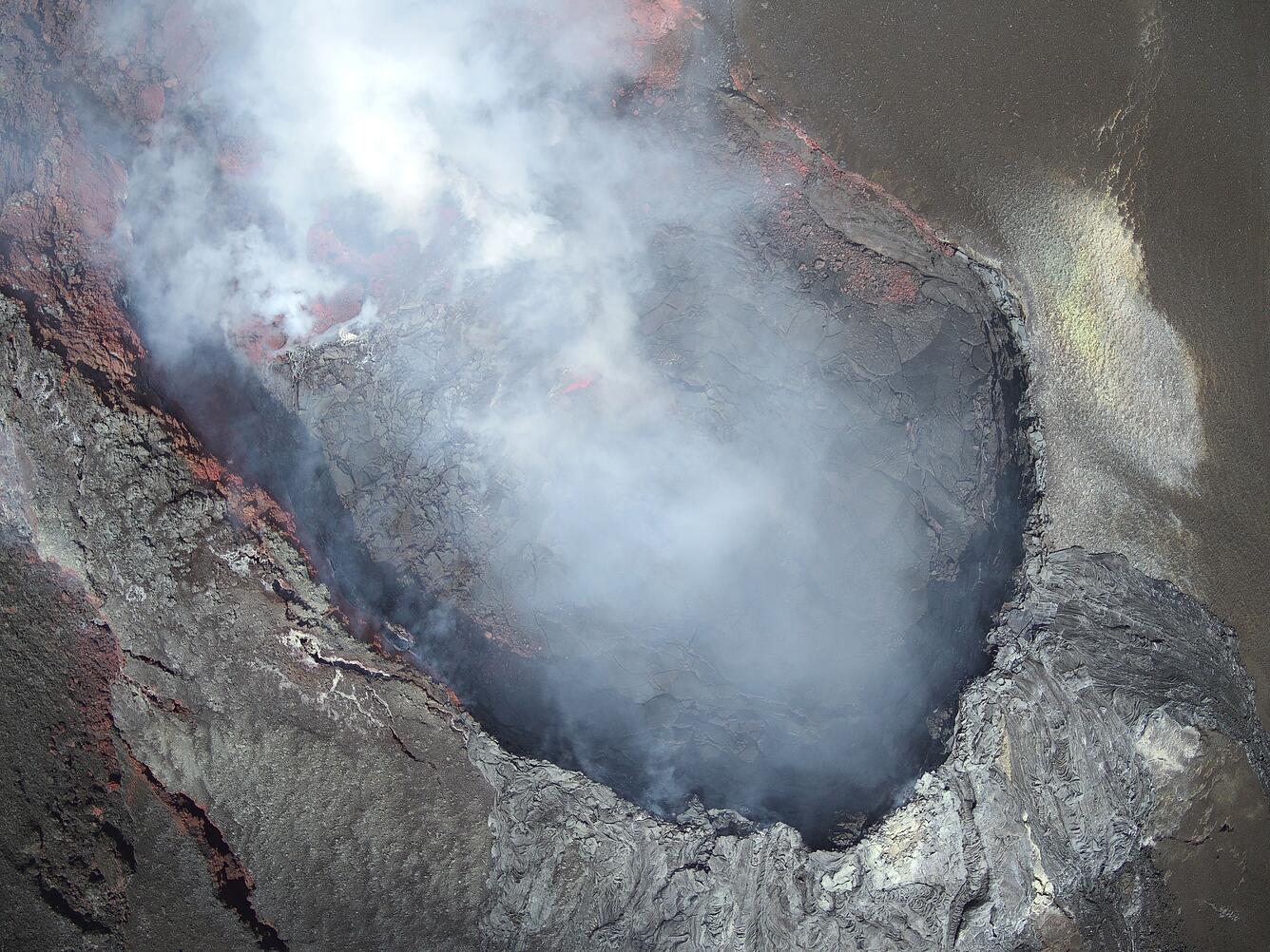
During the overflight, scientists say the north vent “was not emitting as much volcanic gas as its southern counterpart, and it did not glow as hot in thermal images. However, faint incandescent glow was visible in the western portion of the vent cone”.
Over the south vent, the UAS flight showed “an absence of active lava, although the opening in the base of the vent cone (center) was vigorously emitting volcanic gases and glowed hot in thermal images.”
The USGS also reminded that “unauthorized launching, landing, or operating of a UAS from or on lands and waters administered by the National Park Service” is prohibited.