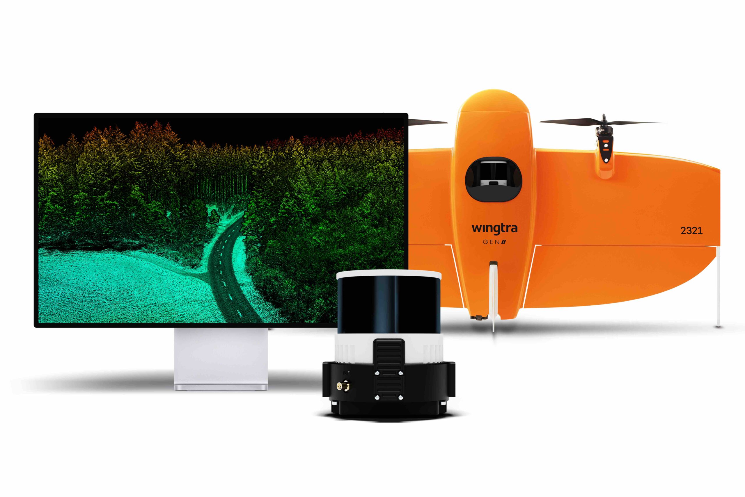
Wingtra, a drone technology company based in Zurich, has introduced a new LiDAR drone mapping solution that combines the WingtraOne GEN II drones with a newly developed LiDAR sensor. This integration aims to advance drone LiDAR efficiency, ease of use, and high accuracy.
Julian Mackern, Product Manager at Wingtra, highlighted the system’s capabilities, stating that it is designed to exceed customer expectations by providing high-precision, reliable, and repeatable data while simplifying the operational process and reducing costs.
The Wingtra LiDAR solution incorporates a Hesai scanner, Inertial Labs IMU, and NovAtel GNSS, optimizing data acquisition and minimizing the need for post-processing strip alignment. This advancement enables immediate access to precise terrain information following each flight, enhancing the efficiency of mapping and photogrammetric analysis in various sectors.
Carlos Femmer, Director of Data Acquisition at HDR, reported exceptional results from testing the Wingtra LiDAR payload, noting its ability to produce high-quality data on both vegetated and non-vegetated surfaces with minimal noise compared to other sensors in the same price range.
One of the key features of the Wingtra LiDAR system is its reduced field time, with no calibration needed and a quick one-minute initialization process. The intuitive Wingtra LiDAR app and the system’s automated features facilitate a streamlined data capture process, making it accessible even to those new to LIDAR technology.
The solution offers a vertical accuracy of 3 cm (1.2 inches) from a 60 m (200 ft) flight height, with leading point density in its class. The WingtraOne GEN II’s design and automated flight patterns ensure consistent results across different pilots, addressing a common challenge in LiDAR data capture.