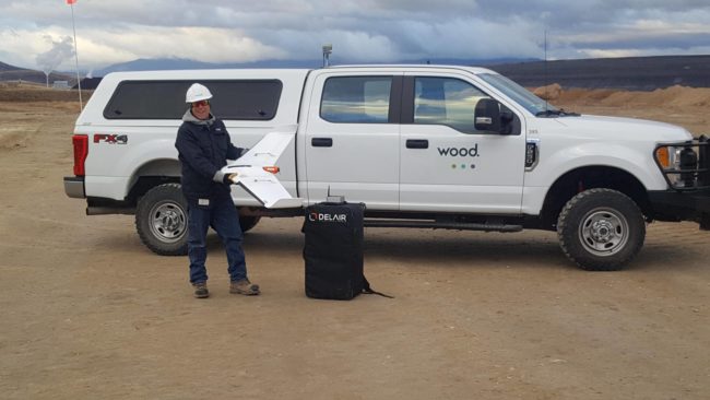
This system will be deployed in remote areas where the company’s heavy civils team is performing extensive excavation and site preparation for phosphate mining activities.
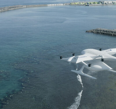
Wood, a global engineering services company, is now using the Delair UX11 UAS for site planning and asset management in mining and quarry projects in the western U.S. This is the first fixed-wing drone the company has deployed in this area.
Initially, the system will be used for high accuracy, 3-D topography surveys and materials quantification for mineral mining in Idaho and Wyoming, according to a news release.
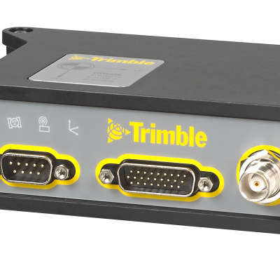
“For the scale of the projects we are performing, and the accuracy required, adopting the Delair UX11 was a logical choice,” said Greg Meinecke, Technical Services Manager at Wood. “Its long-range capabilities allow us to cover areas not feasible with other data collection methods like hover craft drones or by foot, so it reduces the cost and time involved. It integrates well with our existing work flows, and features such as the PPK function deliver additional benefits in terms of the precision and flexibility required in challenging environments.”
The system will be deployed in remote areas where the company’s heavy civils team is performing extensive excavation and site preparation for phosphate mining activities. The project covers more than 200 acres and it’s important for the team to precisely quantify the volume of material being removed.
Frontier Precision worked with Wood to evaluate the system and ensure it met the firm’s requirements, including integration with other important tools the firm uses such as AutoCad, Trimble Business Center, and the Pix4D photogrammetry suite.
“We are able to get surveys covering large tracts of land done in a very short amount of time, so it ends up being much more cost effective for us and the client,” Meinecke said, according to the release. “More importantly, we can provide the mine owners a great deal of confidence in the accuracy of the work being performed and the quantities of resources involved. In the end, everyone agreed on the material quantities as the technology is very reliable.”


