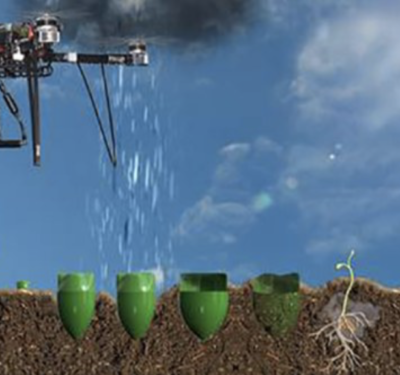
Mangroves are a group of trees and shrubs that live in the coastal intertidal zone, and mangrove forests only grow at tropical and…
Air
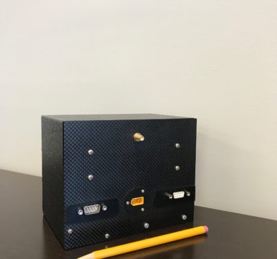
MA-C SIGINT Sensor from Vstar Systems now can Perform Remote Operations
The MA-C SIGINT Sensor from VStar Systems, an aerospace and defense company, now has remote operations capability, meaning operators no…
Draper, MIT Researchers Equip UAV with Vision for GNSS-Denied Navigation
In an effort to offset problems caused by loss of GNSS signals — a potentially dangerous situation for first responders…
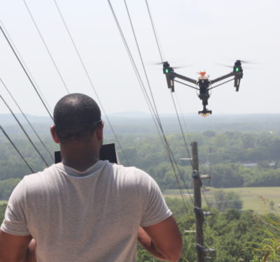
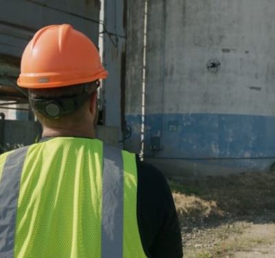
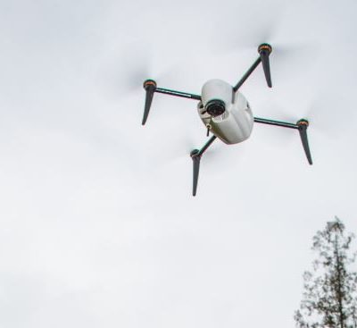
Avion Unmanned Works with Huntsville Utilities on Employing Drones into Daily Operations
With the help of Huntsville, Alabama-based Avion Unmanned, Huntsville Utilities will soon be able to employ unmanned aerial systems (UAS)…
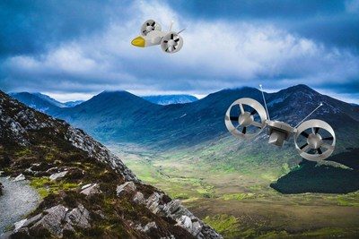
UK Team Working to Develop Mid-Mass Logistics Drone
A team of UK engineers are working to develop Sky Hopper, a mid-mass logistics drone that will be deployed in…
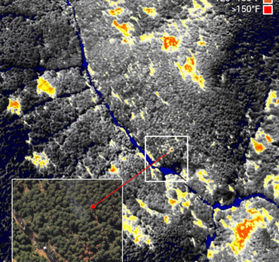
Volaero Drones and Partners to Track Pythons in the Everglades with Thermal Technology
Burmese Pythons have become a real problem in the Everglades, which is why Volaero Drones, Bruni Infrared and Bill Booth…
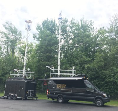
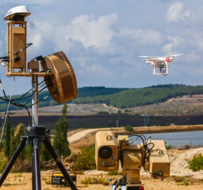
Mobile Skylight UTM System Developed to Provide Drone Security
Unmanned aerial systems (UASs) and their uses have exploded in recent years, and first responders are just one example of…
KDOT Partners with AirMap to Deploy Statewide Drone UTM Initiative
The Kansas Department of Transportation (KDOT) recently partnered with AirMap to deploy a statewide Unmanned Traffic Management (UTM) initiative—the first…
Farmers Insurance Launches Drone Program
Farmers Insurance will now use Kespry unmanned aerial systems (UAS) to help assess damage to residential rooftops after significant weather events.
Overwatch Imaging Completes SOAR Oregon Program to Upgrade Autonomous Image Capabilities
Overwatch Imaging, a small business specializing in customized large-scale aerial imagery intelligence systems, successfully completed a year-long program to upgrade…
Enabling Collision Avoidance with Raw Measurements and Updated ADS-B Software
By James Farrell — The advantages of using raw measurements for ADS-B and systems similar to ADS-B produce safer operations.
Israel’s Rafael Advanced Defense Systems Unveils Drone Detection and Neutralization System
Unmanned aerial vehicles (UAVs) can accomplish plenty of great things. But just the same, the technology can and has been…
MicaSense Atlas Partners with Pix4D
MicaSense Atlas is now integrated with Pix4D desktop software. The new “Upload to Atlas” feature enables users to share the…
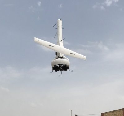
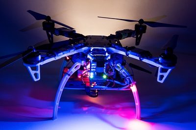
VStar Systems Successfully Completes Flight Demo of its Sensor Onboard Martin UAV’s V-Bat Drone
During the flights, which took place overseas, the sensor collected signals from more than 100 miles distance while the unmanned…

Europe Looking for UAV Progress
Europe was an early-rising bright star in the drone industry and it continues to shine. The continent now needs to…
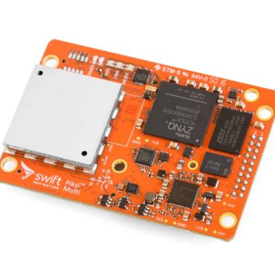
Swift Navigation Announces $34 Million Series B Financing Round for High-Accuracy GPS
Swift Navigation recently raised a $34 million Series B financing round for next generation high-accuracy GPS, bringing the total the…
The md4-1000 from Microdrones on Transport Canada’s list of Compliant UAS
The md4-1000 unmanned aerial system (UAS) from Microdrones was recently added to Transport Canada’s list of compliant UAS. Microdrones is…
