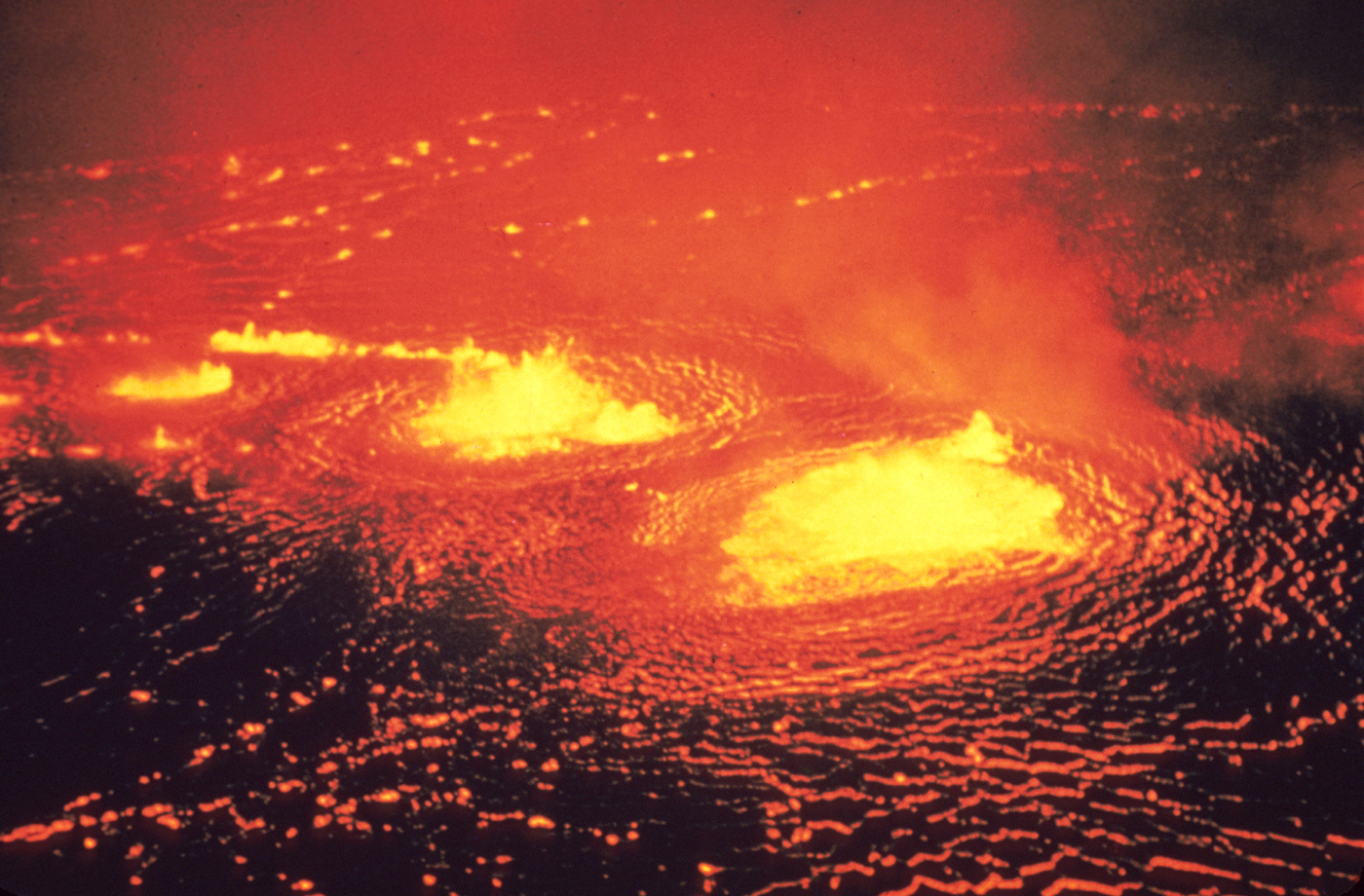
Hawaii Volcanoes National Park. May 1954 eruption of Kilauea Volcano. Halemaumau fountains. Photo by J.P. Eaton, May 31, 1954. USGS
When explorer and filmmaker Sam Cossman decided he wanted to capture video of the Marum Crater in a way that’s never been done before, he gathered his team and camera-mounted drones to make it happen.
Located in the island national of Vanuatu, this dangerous, active volcano is 7.5-miles wide and posed many dangers for the team that piloted the drones, including toxic gas and boiling lava, according to the video, which appears on the National Geographic website.
Despite the dangers, the team flew Phantom II Vision Plus drones over the Marum Crater. They mounted GoPros onto the drones with gimbaled devices to ensure the video remained stable, no matter how much the drones shook.
The drones took thousands of photographs around the top of the crater, according to the video, and the team used specialized software to process these image and render a “first of its kind 3D model of the volcano from the inside.”
Although the drones captured plenty of high-definition photos and video of the Marum Crater, two drones “we lost to the harsh environment.”
Watch the video to learn more about the project and how what these drones accomplished will help scientists learn more about the Marum Crater and life around it: