Cloud-Map, a joint project of four Midwestern universities supported by the National Science Foundation, aims to triple the warning time for tornadoes—as well as generally improve weather predictions nationwide—with a network of drones that measure temperature, pressure and humidity in the hard-to-study air directly above the Earth’s surface at altitudes up to 5,000 feet.
Jamey Jacob, a professor of Mechanical and Aerospace Engineering at Oklahoma State University, explained the basics of the project at AUVSI’s XPONENTIAL 2016 in New Orleans on Tuesday. Drones, he said, are one of the best ways to get local measurements that meteorologists can use to make more accurate forecasts.
Doppler radar has greatly improved weather forecasting over the past three decades, but it can’t directly measure air pressure, and it surveys the skies at a higher altitude than would be ideal for detailed measurements.
Weather balloons can measure air pressure, which is ultra-important for storm forecasting, and can do so at low altitudes—but they rise so quickly. If a balloon ascends about 1,000 feet per minute and you want to know what’s going on right above the earth’s surface, you only get about 60 seconds of measurements before the balloon is too high. Meteorologists continue to take measurements until the balloon reaches the stratosphere, but that first boundary layer, at a thousand feet above the ground, is really the sweet spot for weather forecasting.
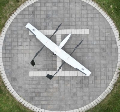
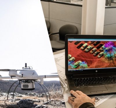
That’s where drones—at least in theory—come in. Oklahoma State University, along with the University of Nebraska-Lincoln, the University of Oklahoma and the University of Kentucky, are developing a platform that will launch from weather stations, “essentially extending the height of the towers,” Jacob said. A typical Mesonet weather station—there are 120 of them across Oklahoma—has a tower that reaches 30 feet into the air. Cloud-Map’s drones should be able to fly a thousand feet up to measure the current state of the local climate. The drones, which will be designed to withstand up to 120 mph winds, will also provide critical information during extreme weather events like tornadoes.
There are a lot of unknowns ranging from how many drones would be needed to provide complete coverage of an area to how to design an aircraft that can withstand essentially a Cat-3 hurricane. Jacob said that Cloud-Map’s prototypes have been stress-tested in the lab to prove that winds that strong won’t shatter them, and one drone took measurements from inside a storm with 30 mph winds. But whether the drones can maintain control in a much more violent storm remains to be tested in the field.
There is, however, growing evidence, he said, that smaller craft like the multirotor vehicles Cloud-Map is building can withstand such winds much better than a larger craft.
More warning for an extreme weather event like a tornado could be a mixed blessing. Currently, meteorologists can predict where a tornado will hit about 20 minutes before it does. Jacob said that with more data—such as that derived from Cloud-Map—forecasters could predict a tornado’s path up to an hour in advance. But, he added, giving people an hour’s warning makes them “think they have time to go get milk.”
On the other hand, nobody needs reminding that extreme tornadoes can be extraordinarily dangerous. More warning—as long as someone solves the milk problem—can only be a good thing. Moreover, a drone capable of withstanding tornado-force winds could allow scientists to learn more about these phenomena from a safe distance.
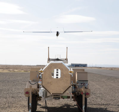
Cloud-Map is also developing a top-down weather measurement drone. The fixed-wing platform, called MARIA, would soar above a developing storm, and then drop packets of sensors directly into it.
The Cloud-Map team will be testing the next iteration of its prototypes in June.


