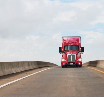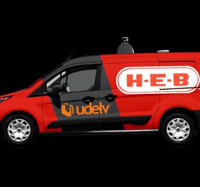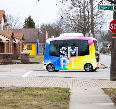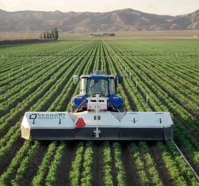
The self-driving vehicles of the future will depend on many integrated technologies to navigate safely, including high-definition mapping and map-based localization.
While mapping has certainly advanced over the years, particularly in construction, infrastructure and transportation networks, the maps created don’t yet offer the critical precision necessary for autonomous driving. And the developing world doesn’t have the necessary mapping products at all, adding to the challenge.
Advancements in sensor technology, however, are helping to address this issue and move autonomous vehicle development forward.
This topic will be addressed during a GEO Week workshop on Monday, “HD Mapping for Autonomous Vehicles Using Drones and Mobile Mapping Systems.” The workshop will be hosted by Trimble Applanix and led by Mohamed Mostafa, lead technical authority, mobile mapping at Applanix.
The workshop will explore some of the most significant sensor developments of recent years, including multi-head cameras using oblique/nadir components; more advanced LiDAR systems and radar sensors; the evolution of GPS into GNSS; and smaller, lighter weight, higher accuracy and less expensive inertial measurement units (IMUs).
Mostafa will cover today’s technological challenges and their solutions, as well as look at future technological development. He’ll discuss the evolution of film into digital cameras, GPS into GNSS, laser profilers into LiDAR systems and inertial navigation systems (INS) into IMUs. The algorithmic evolution of aerotriangulation, simultaneous localization and mapping (SLAM), direct georeferencing (DG) and integrated sensor orientation (ISO) will be addressed as well, as will the benefits of integrating these technologies in the form of simultaneous adjustment and mapping (SAM).
He’ll also look at integrating imaging, LiDAR, radar, inertial and GNSS to not just georeference an image or LiDAR range but also to leverage the precise LiDAR ranges and image pixels. Doing so will improve the precision of the trajectory in post-processing and real-time modes.
This is one of the many workshops attendees can attend during GEO Week, which will be held Monday through Wednesday at the Colorado Convention Center in Denver. The conference program and tradeshow floor will feature commercial applications of 3D technologies, innovations and case studies in the built environment, and advanced airborne and terrestrial remote sensing solutions, among other technologies.
You can learn more about GEO Week and register here.


