Inertial Labs, a developer and supplier of orientation, inertial navigation, and optically enhanced sensor modules, has acquired MEMSENSE, a developer…
Inertial
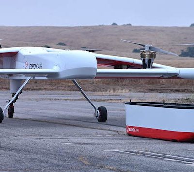
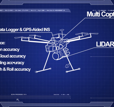
Long-range Cargo UAV Uses Inertial: Webinar Now Available On Demand
We take a close-up look at inertial measurement and inertial navigation in autonomous cargo transport. High standards for technology in…
For PNT Integration, Timing Is Everything. Inertial Supplies It.
GPS + inertial + camera + LiDAR + baro-altimeter = a very precise measurement, right? Not when the respective sensor…
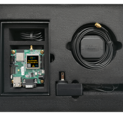
New GNSS/INS Positioning Family for Autonomy
Hexagon | NovAtel has introduced the PIM222A, part of a new family of GNSS positioning products for autonomy. The PIM222A…

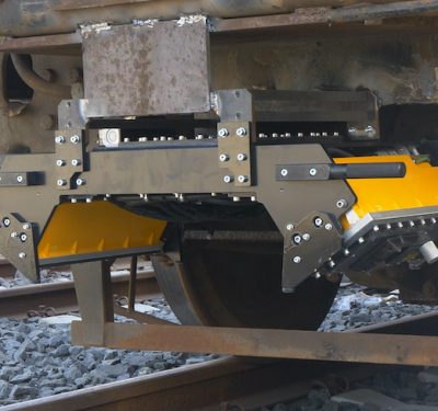
Unjammable and Tough on the Ground: New IMUs Improve Military Ground Vehicle Positioning & Navigation
In tactical-grade navigation and targeting systems, a new inertial technology has proved itself under the most demanding conditions, showing the…
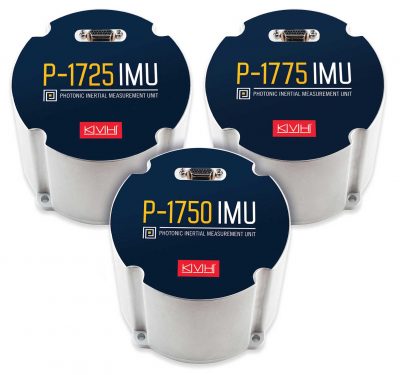
Photonic Integrated Chip Drives High-Performance IMUs
KVH Industries introduced the P-1750 inertial measurement unit (IMU) and the P-1725 IMU to complement its previously released P-1775 IMU…
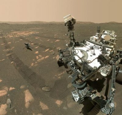
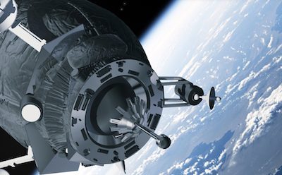
When Ingenuity Flies on Mars, It Will Be an Extraplanetary Inertial First. A First for UAVs, Too.
The first powered, controlled flight on another planet, now re-scheduled for no earlier than April 14, will employ inertial technology…
OpenARC GNSS-Inertial Hardware/Software for Autonomous Agriculture, Construction, Mapping, Surveying, Robotics, Trucking
ACEINNA, a developer of inertial-based guidance and navigation systems for autonomous vehicles and devices, announced the commercial availability of OpenARC,…
New MEMS IMU for Unmanned Vehicles Will Deliver Order of Magnitude Improvement in Inertial Accuracy
Honeywell announced that recent findings from its research labs show that its newly developed inertial sensors can deliver greater than…

Low SWaP-C for Centimeter-Level UAV Survey, Machine Control, Intelligent Vehicles
Dual-frequency GNSS and recent advances in inertial technology combine with advanced software algorithms to deliver high-performance real-time positioning in robotics,…
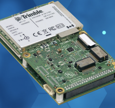
New OEM Hardware/Software for Direct Georeferencing of Airborne Sensor Data
Applanix and Trimble showcase the Trimble AP+ Air OEM solution for Direct Georeferencing of airborne sensor data at the recent…
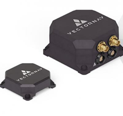
New Tactical-Grade Dual-Antenna GNSS/INS Shows Off at InterGeo and AUSA
VectorNav showcased its new VN-310 at the recent InterGeo expo in Berlin and at the Association of the United States…
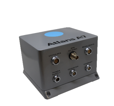
iXblue’s Atlans INS Selected for OGI’s Mobile Mapping LiDAR Solution
iXblue’s Atlans Inertial Navigation System (INS) will provide uninterrupted data georeferencing to Oceanographic & Geophysical Instruments Inc.’s (OGI) new mobile…
Emerging Inertial Trends and High-Level Performance Examined in Upcoming Webinar
The MEMS-based inertial measurement unit (IMU) represents the single biggest positioning and navigation advance of the last 20 years.

Autonomoose Grazes Winter Roads, Gathering Data for Driverless in Snow
A Lincoln MKZ hybrid carrying a full sensor suite roves the snowy roads of Ontario, recording bad-weather data to empower…
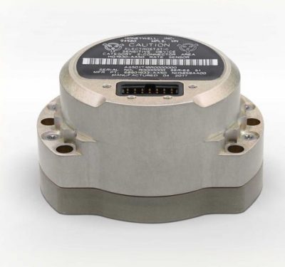
New Compact MEMS IMUs from Honeywell
Honeywell has introduced two new small, lightweight inertial measurement units (IMUs) for navigation. Built to withstand harsh air, land or…

NovAtel Now Delivering Enhanced Signal Acquisition, Time and Accuracy
NovAtel, part of Hexagon’s Positioning Intelligence division, now brings users greatly improved processing speed and accuracy as well as significantly…
