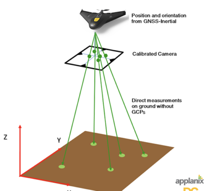
Trimble announced last week the release of the Trimble GNSS Smart Target Base Station for high-accuracy mapping from Unmanned Aerial…
Mapping
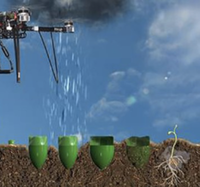
These Drones Designed to Plant Mangrove Trees and Help Restore an Ecosystem
Mangroves are a group of trees and shrubs that live in the coastal intertidal zone, and mangrove forests only grow at tropical and…
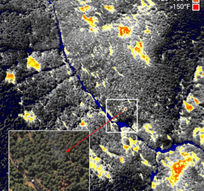
Overwatch Imaging Completes SOAR Oregon Program to Upgrade Autonomous Image Capabilities
Overwatch Imaging, a small business specializing in customized large-scale aerial imagery intelligence systems, successfully completed a year-long program to upgrade…
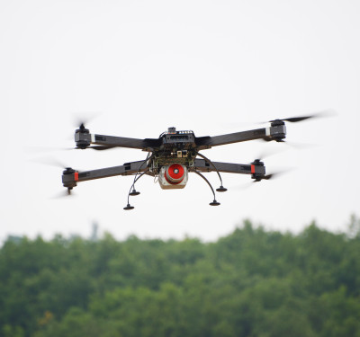
RIEGL USA’s RiCOPTER Unmanned Scanning Platform is Designed for a Variety of Applications
RiCOPTER, the ready to fly remotely piloted airborne laser scanning system from RIEGL USA, can be used for a variety…
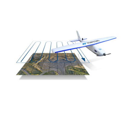
Latest Version of Sirius Pro Designed to be Compatible With Existing RTK Base Stations or NTRIP
Topcon Positioning Group and MAVinci GmbH recently released the latest version of the Sirius Pro surveying Unmanned Aerial System to…
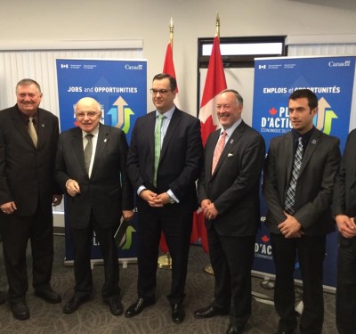
ING Robotic Aviation Opens New Facility
ING Robotic Aviation officially opened the doors to its new facility in Ottawa earlier this week—representing another step forward in…
