DeepMap, Metropolis and ReOpt improve performance for fleets of autonomous mobile robots amid expectations for nearly 6x increase in robot…
Inside Unmanned Systems
Inertial Labs Acquires MEMSENSE, IMU Developer
Inertial Labs, a developer and supplier of orientation, inertial navigation, and optically enhanced sensor modules, has acquired MEMSENSE, a developer…
Robust Anti-Jamming Navigation System Uses Inertial and Radar to Complete BVLOS Mission
In November 2021 in Israel, infiniDome, Honeywell, and Easy Aerial demonstrated a UAV-tailored resilient navigation solution to complete critical missions…
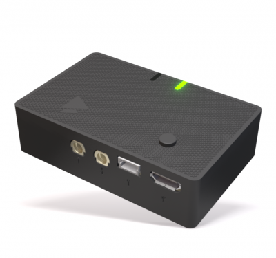
Mini Tag Broadcasts Drone Location for Coordination and Regulation Compliance
Dronetag has released a low-power drone-tracking solution that can be attached to any drone, according to the company, to promote…
Four Rotors and a Brain in Search of Eight Legs: A Tale from the Octopus’ Garden
Octopi are one of Korea’s most beloved delicacies. Korean people enjoy eating the eight-limbed mollusks in all forms — 36,899…
HAPS Alliance White Paper on Flight Tests Demonstrates Communication Opportunities
The HAPS Alliance, an international association of cross-industry players working to enable a High-Altitude Platform Station (HAPS) ecosystem, today announced…
Former NASA Administrator Joins D-Fend Solutions Advisory Board
D-Fend Solutions, a leader in radio frequency (RF), cyber-based, counter-drone takeover technology, is announcing the addition of former NASA Administrator…
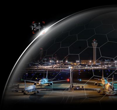
Dedrone Secures $30.5 Million Series C to Protect Airspace Against Unauthorized Drones
Axon leads investment round to help ensure airspace security and community safety Dedrone, the market leader in smart airspace security,…
Avy Launches Rapid Response System
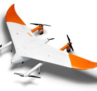
Dutch aviation technology company Avy has just launched its Drone Response Network, which allows for near-instant deployment of the new…
Unmanned Rescue Equipment Succeeds in Water Demonstration
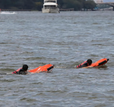
Eight unmanned surface rescue vessels (USRV) were demonstrated in a water emergency rescue drill held by the Qingyuan Municipal Government…
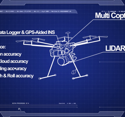
INS Technology Advances LiDAR Surveying Capabilities
Join Adam Barnes, Head of Product at Advanced Navigation, and Ashley Cox, Chief Operating Officer at Cordel, to find out…
Direct Georeferencing Speeds Aerial Mapping Imagery for Hurricane Relief
Applanix and the National Oceanic and Atmospheric Administration (NOAA) recently collaborated to provide critical information to first responders in the…
Fast and Furious: The Keys to High-Dynamic Positioning
Rapidly changing motion means that every aspect of positioning must be carefully re-examined and re-evaluated to avoid costly and dangerous…
Royal Australian Navy Awards ScanEagle Contract Extension to Insitu Pacific
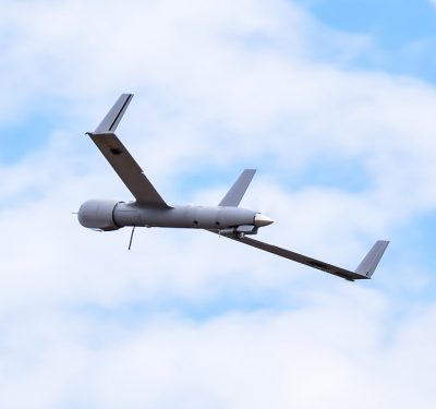
Insitu Pacific has been awarded a three-year contract extension by the Royal Australian Navy (RAN) for the sustainment of its…
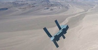
Air Force Orders 15 Silent Arrow Precision-Guided Cargo Delivery Drones
The U.S. Air Force through its Research Laboratory (AFRL) has awarded Silent Arrow a contract for “Guided Bundle Derivative of…
First Flights in EU Project Implementing Movement of Drones Over Cities Started in Poland
A first series of test flights with drones got underway in November in Rzeszów, Poland as part of the Urban…
LMT Showcases Deployment of Unmanned Systems in a Milrem Robotics-led iMUGS Consortium Demonstration
The iMUGS Consortium, in charge of a 32,6M EUR project developing the European standard unmanned ground system (UGS), demonstrated how…


