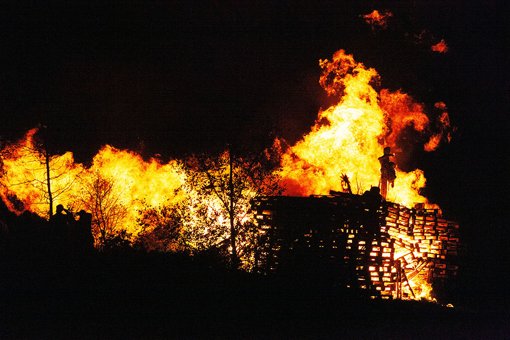
Photo courtesy of Mark Fletcher Brown via Unsplash.
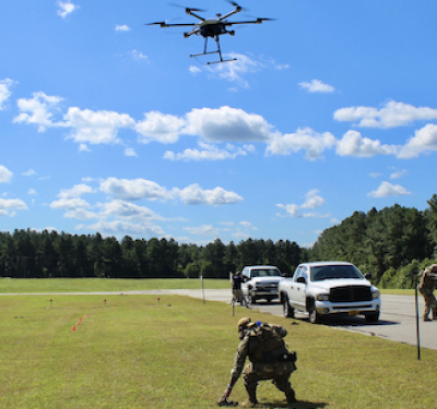
The House passed legislation February 26 promoting the use of drones and other advanced technology to improve government response to wildfires.
The Natural Resources Management Act (S.47) directs the Secretary of the Interior to either set up or expand a research, development and testing program to assess using unmanned aircraft systems (UAS) across the “the full range of wildland fire management operations.” Once the bill is signed into law Interior will have six months to put the program in place.
That program is also supposed to speed the deployment and integration of UAS into operations conducted by both the Departments of Agriculture and Interior. To do this the two departments are to develop consistent protocols and plans for using UAS to fight wildland fires —including the development of real-time maps of fire locations. Interior and Agriculture are to coordinate with the Federal Aviation Administration, which is working to integrate UAS into the national airspace, as well as state wildland firefighting agencies and other relevant federal organizations.
Location and Mapping
The House also directed Interior and Agriculture to develop capabilities to pinpoint in real time the location of firefighting resources and those areas where erosion is likely to be an issue.
The resource locationsystem is supposed to “remotely track the location of an active resource” with technology such as a GPS receiver, and indicate it on the UAS-supported fire maps the two agencies are supposed to develop. The agencies have two years to work this out and are to conduct a minimum of two pilot projects in the process.
To help address risks after a fire the legislation would also have the departments set up a web-based, no-charge database with information useful to assessing the chances of erosion. The system will automatically incorporate “spatial data relating to vegetation, soils, and elevation into an applicable map created by the Secretary concerned that depicts the changes in land-cover and soil properties caused by a wildland fire.” The departments are to use this information to model ways to prevent flooding, erosion, and landslides in burned areas under different weather scenarios. With the information in the “Rapid Response Erosion Database” the departments are then to develop recommendations for emergency stabilization treatments or modifications to drainage structures to protect against such risks.
The bill was passed just weeks after the White House ordered the two departments to incorporate drones in their firefighting and recovery efforts. At about the same time the U.S. Sentencing Commission began the public process of hammering out the details of a new law penalizing unauthorized drone operators whose flights interfere with personnel responding to a wild fire.