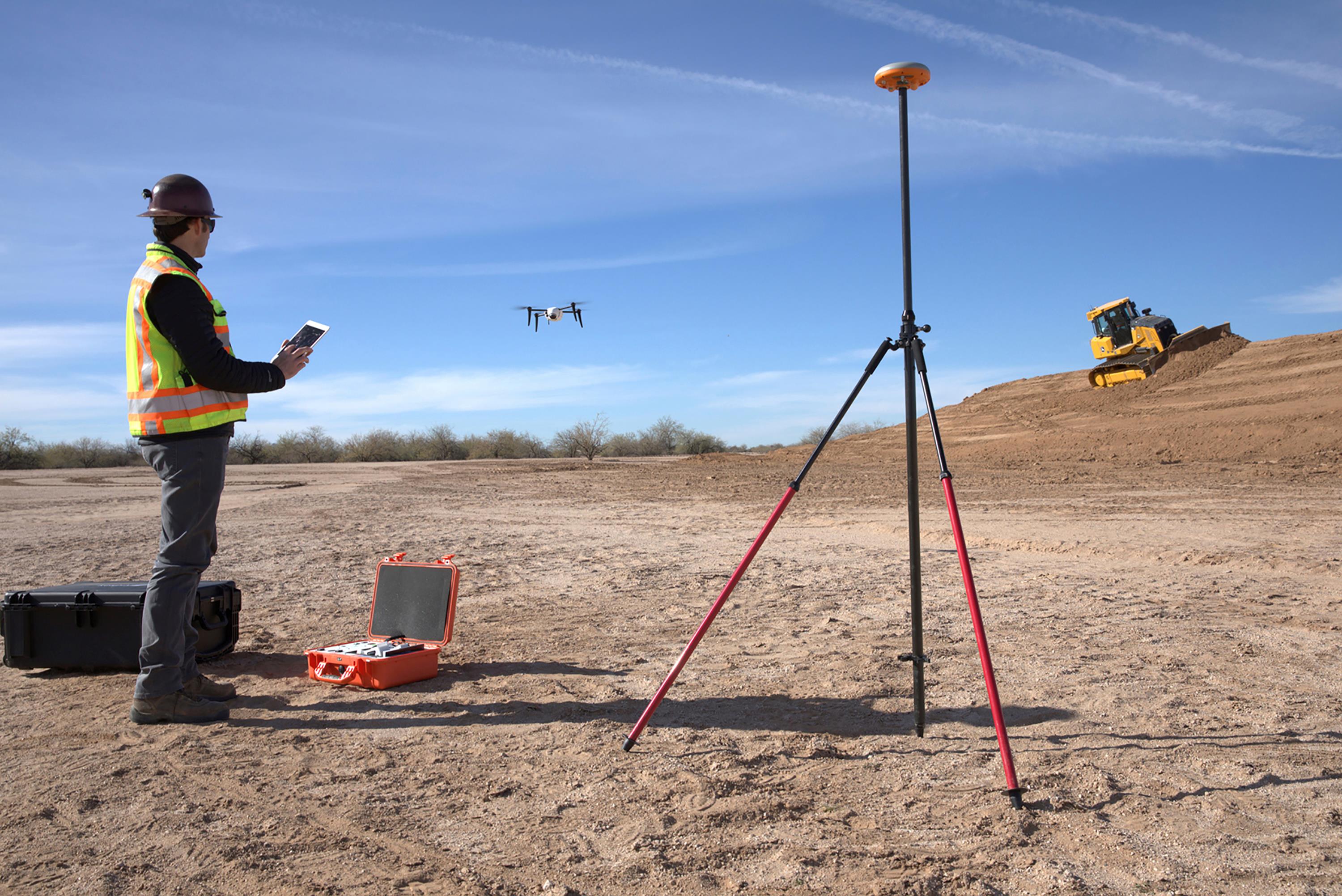
John Deere Construction & Forestry dealers will now provide the Kespry Aerial Intelligence System to their customers.
The exclusive global strategic alliance enables John Deere customers to use Kespry’s drone platform to quickly capture topographic data with survey-grade accuracy, according to a news release.
“This technology will help our dealers offer a seamless workflow to site development and road building contractors from project planning through grading dirt,” said Andrew Kahler, product marketing manager, John Deere WorkSight, according to the release. “The data gathered from the Kespry system will help our customers and equipment operators make decisions that reduce costs and improve productivity as they optimize the job site and spend less time on jobs.”
John Deere choose Kespry because of its interoperability with John Deere WorkSight technologies, according to the release, and because it’s easy to use. Kespry will train and certify dealers on how to use the company’s Drone 2s platform.
The system’s post-processed data is accessible from anywhere in the world via a user-friendly Web interface. Customers can access real-time 3D renderings, volumetric analysis and data export features. The data can be exported from the Kespry cloud to common modeling packages including AGTEK Earthwork 4D, another endorsed John Deere solution to perform 3D model overlays, cut/fill maps, bidding and takeoff procedures.
“Our relationship with John Deere will accelerate the adoption of drone solutions in industrial markets and will rapidly change how business is done in construction, road building and other industrial sectors,” said George Mathew, chairman and CEO of Kespry, according to the release. “These advanced aerial intelligence systems are already changing the face of work in industrial markets as surveyors and contractors are able to retool their skill sets for this increasingly connected world.”