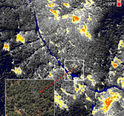
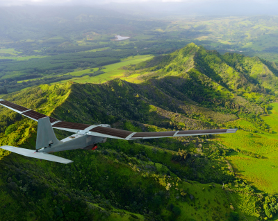
Overwatch Imaging, a small business specializing in customized large-scale aerial imagery intelligence systems, successfully completed a year-long program to upgrade…
Engineering & Design
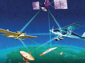
Enabling Collision Avoidance with Raw Measurements and Updated ADS-B Software
By James Farrell — The advantages of using raw measurements for ADS-B and systems similar to ADS-B produce safer operations.

Baidu Testing Self-Driving Cars at GoMentum Station
Baidu Inc., the owner of China’s largest search engine who earlier had announced the company is working to release an…
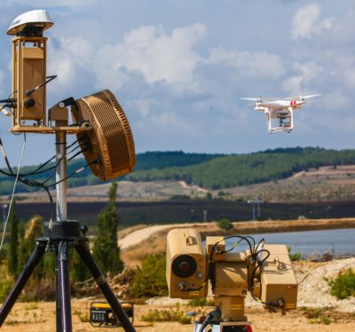
Israel’s Rafael Advanced Defense Systems Unveils Drone Detection and Neutralization System
Unmanned aerial vehicles (UAVs) can accomplish plenty of great things. But just the same, the technology can and has been…
BAE Systems Receives Grant to Design the UK’s First Autonomous Systems Testing Facility
BAE Systems recently received a £457,000 grant from the Solent Local Enterprise Partnership (LEP) to design and deliver the UK’s…
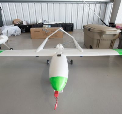
VStar Systems Successfully Completes Flight Demo of its Sensor Onboard Martin UAV’s V-Bat Drone
During the flights, which took place overseas, the sensor collected signals from more than 100 miles distance while the unmanned…

Applanix and University of Waterloo Announce Collaboration
Applanix, a Trimble Company, recently announced a collaboration with the University of Waterloo Centre in Ontario, Canada for Automotive Research…
Sights Set High for the Geospatial Industries
UAV-based LiDAR users came from far and wide to Montpellier for a special conference organized by French company YellowScan. Participants…
Expert Commentary: Are We Losing the Drone Race?
I just got back from AUVSI’s Xponential show in Dallas and I’m worried that America might be losing the commercial…

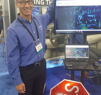
Autonomous Vehicle Safety Highlighted at TU-Automotive
When autonomous vehicles become mainstream, and what technologies will need to be improved, were side topics at the recent TU-Automotive…
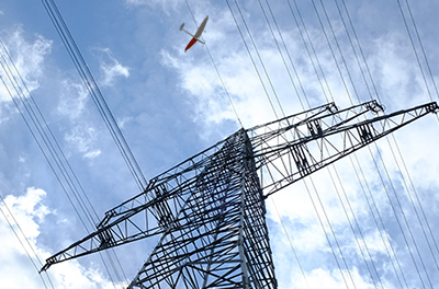
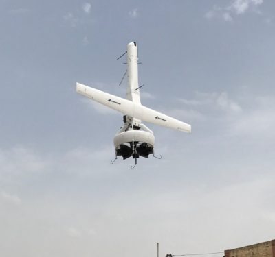
Del-Air Tech and RTE Complete 30 mile BVLOS flight in France
Del-Air Tech and RTE recently flew a drone beyond visual line of sight (BVLOS) to inspect an RTE power line…
LiDAR, HD Maps Big Part of Autonomous Driving
If fully autonomous vehicles are to be a reality, chances are they will have a combination of HD maps, LiDAR…
LSUASC Test UAS Flights with New Detect-and-Avoid Radar Technology
A new detect-and-avoid radar technology for small unmanned aircraft systems (UAS) was successfully tested earlier this month in Texas.
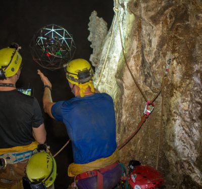
Elios Deployed for Cave Exploration
The expedition was used to train astronauts in an environment replicating extraterrestrial conditions.
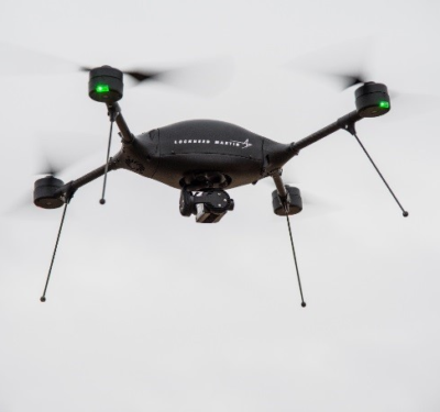
Lockheed Martin’s Indago 2 UAS Completes BVLOS flight in Canada
The Indago 2 unmanned aircraft system (UAS) from Lockheed Martin recently completed the first beyond visual line of sight (BVLOS)…

Startup Features Top Autonomous Vehicle Execs
New information is coming out about an autonomous vehicle startup founded by the former self-driving heads of both Google and…
Alta Devices and PowerOasis Form Partnership to Leverage Solar Technology and Hybrid Power Systems
The companies plan to develop the first reference design for integrated solar and lithium-ion battery power systems.
