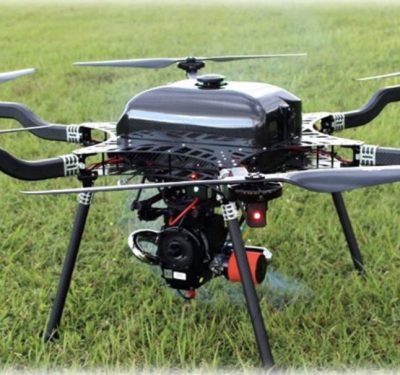
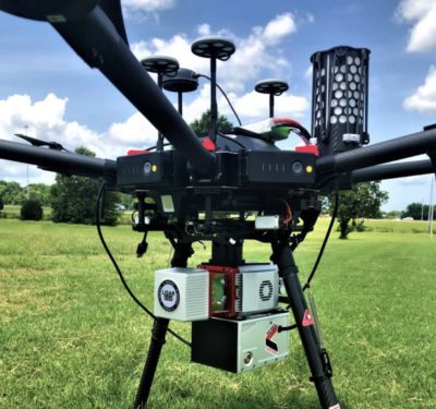
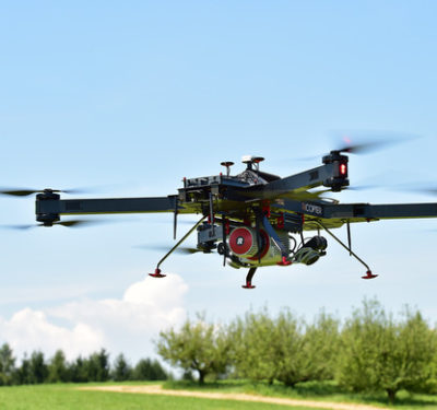
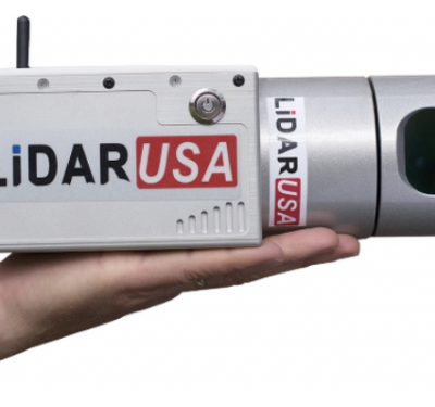
LiDARUSA has announced the integration of its UAV-scanning systems with the Harris Aerial H4/H6 Hybrid multicopters. As surveyors and mappers…
LiDAR
Velodyne Lidar Introduces New Puck 32MR Sensor for Autonomous Systems
Velodyne Lidar, Inc. last week introduced the Puck 32MR™ sensor to address key markets in the autonomous industry. This product is designed…
SureStar Releases Mini-LiDAR System with Applanix APX UAV
The Genius drone LiDAR system combines SureStar’s UAV-based LiDAR sensor with Applanix’ APX OEM module for a lightweight UAV mapping…
LiDARUSA Puts Safety First With Drone Rescue Systems
LiDARUSA has announced the option of the Drone Rescue Systems parachute system with all DJI M600 UAV sales. As UAV’s…
YellowScan Releases New CloudStation Software
YellowScan, a UAV LiDAR Solutions leader, recently announced the release of its new software, CloudStation, which is designed to provide…
LiDAR: Going Beyond Photogrammetry
As more drones take to the skies over construction sites, they’re starting to carry advanced technologies, like LiDAR, to provide…
Apple’s Interest in LiDAR Could Lead to a New Focus on Driverless Cars
Apple Inc. is in talks with LiDAR makers regarding sensors that could be used for its Apple Car initiative, according…
Phoenix Vision360 Imaging Platform Offers Detailed Aerial Vision Inspection
Phoenix LiDAR Systems recently introduced Phoenix Vision360, a 360-degree aerial imaging platform. The solution, developed in partnership with motion control…
Webinar: LiDAR and BVLOS UAVs: Enabling the Ultimate Solution for Highly Efficient Mapping
Registration is still open for this Free Webinar on Tuesday, April 16, 2019 from 1:00 PM – 2:30 PM ET….
Enefit Uses UGV from Milrem Robotics to Inspect Mine Pillars
Multiscope, an unmanned ground vehicle (UGV) from Milrem Robotics, recently completed pillar inspections on an abandoned mine. Estonian energy company…
Horizon FOG IMU Completes Navsight Marine Solution from SBG Systems
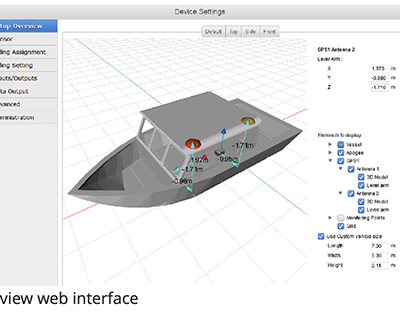
Earlier this month at the U.S. Hydro Conference, SBG Systems released the Horizon IMU, a FOG-based high performance inertial measurement…
Last Call — Webinar: Scanning Ahead with Unmanned Waveform LiDAR
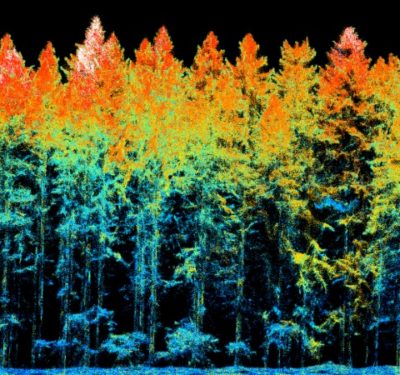
LiDAR has introduced pulsed-light precision and project-specific flexibility across sectors from agriculture to line inspection. Maximizing its deployment can yield…
Cambridge Consultants Introduces Mamut, an Autonomous Robot for the Ag Industry
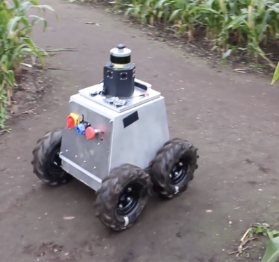
The new Mamut autonomous robot from Cambridge Consultants gives growers a new tool to predict and optimize yield. Designed specifically…
Waymo Bringing 3D Perimeter LiDAR to Partners Outside of Self-Driving Cars
For more than a decade, Alphabet’s self-driving car company Waymo has been developing self-driving technology with a mission to make…
Fugro Uses Rapid Airborne Multibeam Mapping System to Acquire Integrated Land, Sea Data Over Turks and Caicos Islands
Fugro has completed a landmark data acquisition campaign over the Turks and Caicos Islands, marking the first commercial success of…
LiDARUSA Works With Allegiant Partners for U.S. Leasing
LiDARUSA has announced they now offer leasing options to qualifying U.S. buyers with Allegiant Partners, Inc. Allegiant Partners, now doing…
New LiDAR-driven Security Solution Designed to Help Secure Sensitive Perimeters
Quanergy Systems, Inc. recently released a first-of-its-kind LiDAR-driven security solution designed to provide a cost-effective and technology-based way to monitor…


