In an effort to push drone technology further into the realm of artificial intelligence (AI), ACL Digital, part of the…
February, 2024
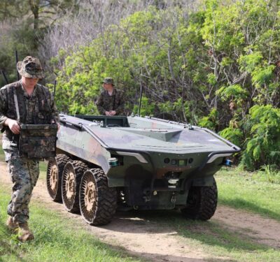
U.S. Marine Corps and Army Evaluate South Korean Unmanned Ground Vehicle for Future Warfare
In a development aimed at modernizing military logistics and advancing autonomous operational capabilities, the U.S. Marine Corps, in collaboration with…
DTC and Inertial Labs Announce Partnership to Enhance Uncrewed Systems Navigation
Domo Tactical Communications (DTC) and Inertial Labs, Inc. have entered into a partnership to develop an integrated solution aimed at…
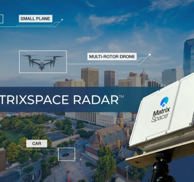
MatrixSpace Radar Ships to Support C-UAS and BVLOS Applications
MatrixSpace has initiated the shipment of its radar system designed to enhance situational awareness for Counter Unmanned Aircraft System (C-UAS)…
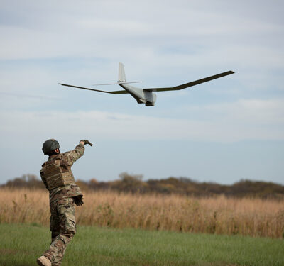
AeroVironment Enhances Puma 3 AE with Extended Flight Time Battery Option
AeroVironment has announced the approval of the PS2500 battery for use in the Puma™ 3 AE unmanned aircraft system (UAS),…
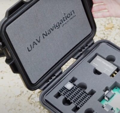
UAV Navigation-Grupo Oesía Introduces GNSS-Denied Navigation Kit for Enhanced UAS Navigation
UAV Navigation-Grupo Oesía has announced the launch of its GNSS-Denied Navigation Kit, a new development aimed at improving autonomous navigation…
Topcon Introduces Enhanced Construction Layout Solution with HP SitePrint Integration
Topcon Positioning Systems has expanded its product offerings through the Topcon Solutions Store (TSS) network in the United States by…
BlueHalo Acquires Eqlipse Technologies to Form Defense Technology Powerhouse
BlueHalo, known for its contributions to airspace intelligence, security, and defense, announced its acquisition of Eqlipse Technologies, a company specializing…
Fortem Technologies and INTRA Defense Technologies Collaborate on C-UAS Solutions
Fortem Technologies, a company specializing in airspace intelligence, security, and defense for detecting and neutralizing drone threats, has announced a…
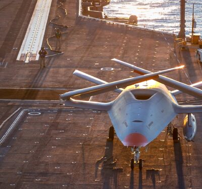
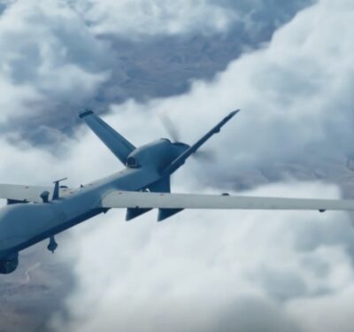
BAE Systems to Upgrade U.S. Navy’s MQ-25A with Advanced Vehicle Management System
BAE Systems has been awarded a contract by Boeing to enhance the U.S. Navy’s MQ-25 unmanned aerial refueling system with…
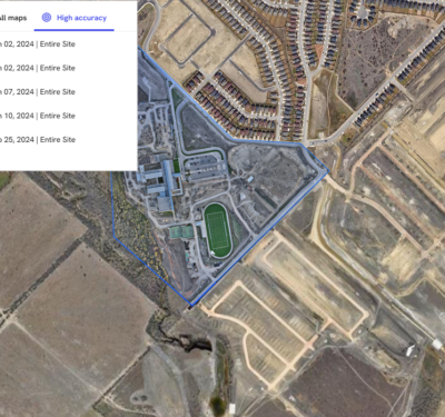
Trimble and DroneDeploy Collaborate on Drone Mapping with High-Precision Positioning Service
Trimble announced a collaboration with DroneDeploy to integrate Trimble’s Applanix POSPac CloudⓇ post-processed kinematic (PPK) GNSS positioning service, featuring CenterPointⓇ…
CDA and MIT Lincoln Laboratory Partner on Drone Research to Support BVLOS Operations
The Commercial Drone Alliance (CDA) and the Massachusetts Institute of Technology Lincoln Laboratory (MIT LL) have initiated a research collaboration…
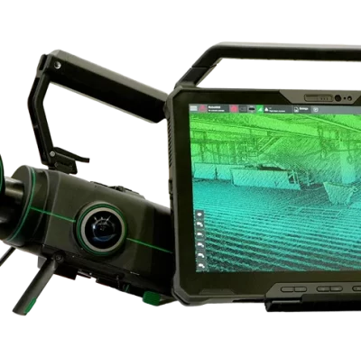
Exyn Technologies Releases Nexys for 3D Mapping in Complex Environments
On February 9, 2024, at GeoWeek, Exyn Technologies announced the launch of Exyn Nexys, a new 3D mapping solution designed…
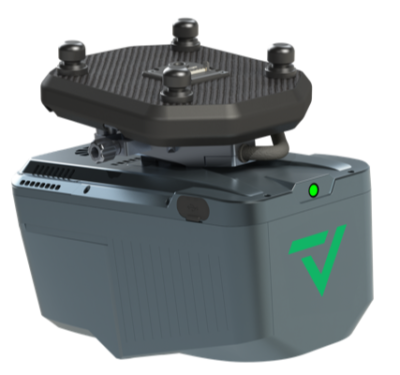
GeoCue and CHC Navigation Introduce TrueView 540 LiDAR System
GeoCue, a provider of geospatial hardware and software, in collaboration with CHC Navigation, a company known for its precision positioning…
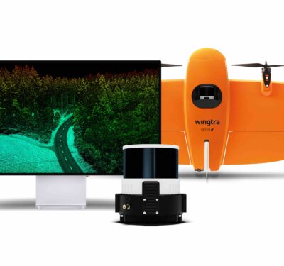
Wingtra Launches Advanced LiDAR Drone Solution
Wingtra, a drone technology company based in Zurich, has introduced a new LiDAR drone mapping solution that combines the WingtraOne…
HAPS Alliance Publishes White Paper on Regulatory Challenges for High Altitude Operations
The HAPS Alliance, a global consortium dedicated to High Altitude Platform Station (HAPS) stakeholders, has released a white paper titled…
BlueHalo Launches VigilantHalo: A Command and Control System for Uncrewed Airspace Management
BlueHalo has introduced VigilantHalo, a software-based platform designed for real-time command and control (C2) of uncrewed airspace. This system represents…


