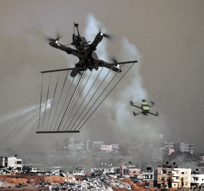
When the Department of Defense (DOD) stands up an entire office to combat a problem, they mean business. Take counter-unmanned…
Telerob Acquisition Expands AeroVironment’s Multi-Domain Solutions
AeroVironment is focused on offering multi-domain solutions, integrating UAS, tactical missile systems and unmanned ground vehicles (UGVs) to allow customers…

Drones Delivering Girl Scout Cookies in Virginia
Christiansburg, Virginia, residents can now get their favorite Girl Scout cookies delivered to their backyard via drone. Since October 2019,…

Unjammable and Tough on the Ground: New IMUs Improve Military Ground Vehicle Positioning & Navigation
In tactical-grade navigation and targeting systems, a new inertial technology has proved itself under the most demanding conditions, showing the…
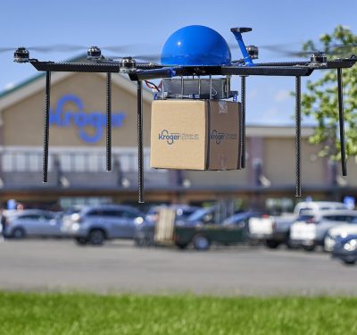
Kroger Now Delivering Groceries Via Drone
The Kroger Co. has partnered with Drone Express, a division of TELEGRID Technologies, Inc., to begin delivering groceries via autonomous…
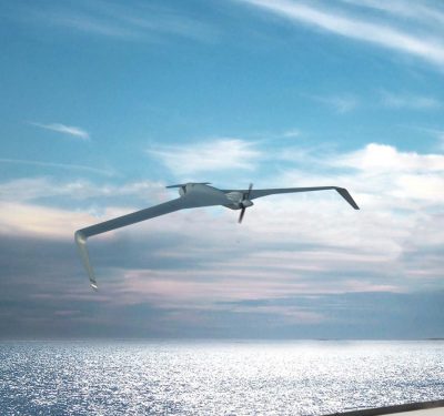
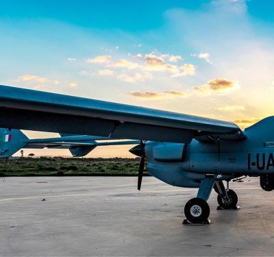
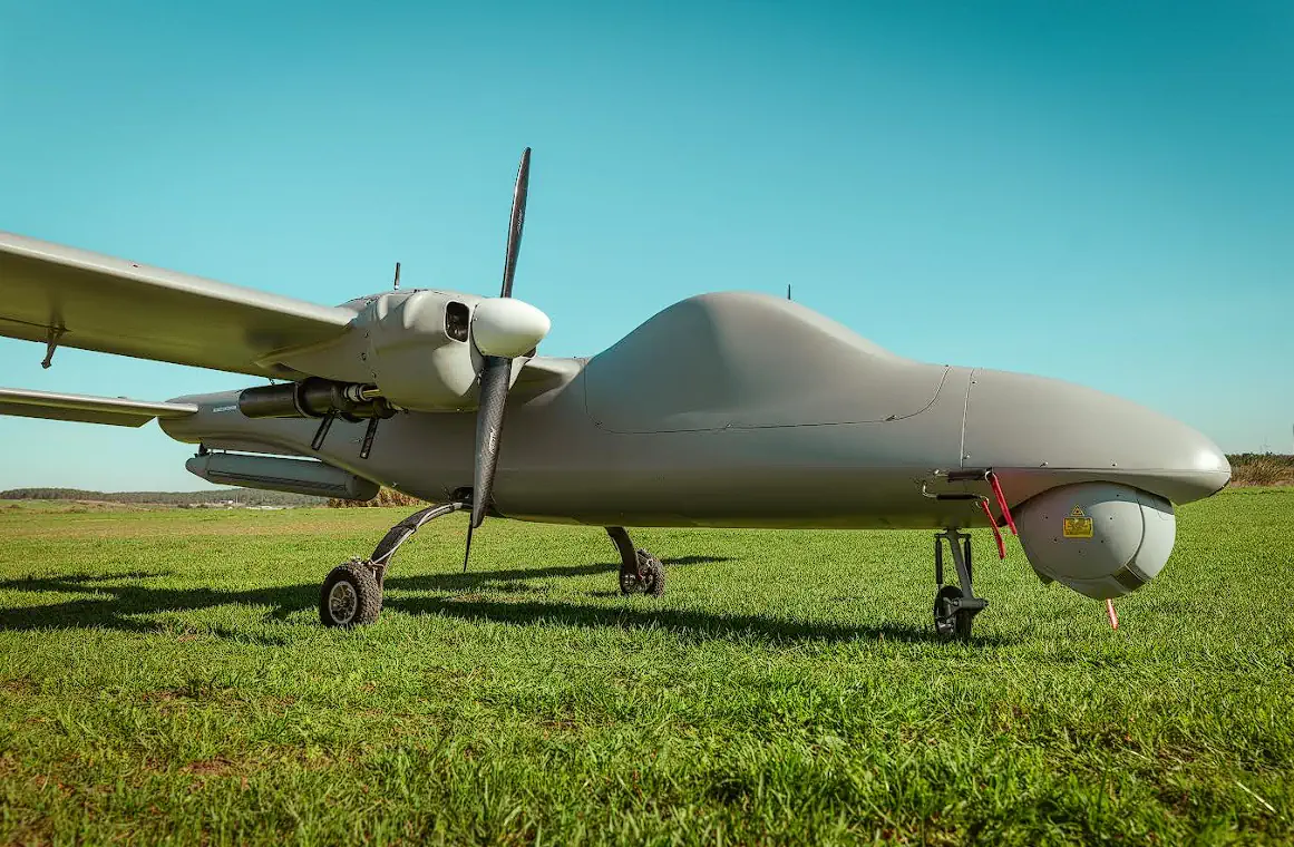
Orbiter 4 UAS From Aeronautics Designed for Maritime Patrol
Aeronautics recently introduced its Orbiter 4 small tactical drone for long-range maritime patrol missions. The long-endurance drone comes equipped with…
Sensors: A Force Multiplier
Evolving ISR sensors feature smaller sizes with increasingly sophisticated capabilities, supporting even more use cases for both civil and military…
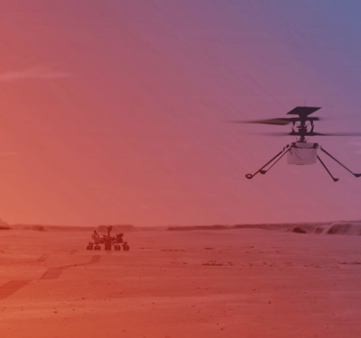
Inside Ingenuity with AeroVironment Part II: Challenges Overcome
As of Friday, April 30 (local time), the Ingenuity Mars Helicopter had completed its fourth successful flight, exceeding expectations and…

Teamed With an Eye in the Sky
Vision-Based Collaborative Navigation for UAV-UGV-Dismounted Units in GPS-Challenged Environments A collaborative navigation scenario between manned and unmanned systems operates in…
Inside Skunk Works® with Lockheed Martin – Advanced Design, Lean Organization
Lockheed Martin’s legendary Skunk Works® was unorthodox from its start. Conceived in 1943, a lean team tasked with completing America’s…
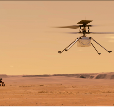
Inside Ingenuity With AeroVironment, Part I: Designing It
April 19th saw what some have christened “a second Wright Brothers moment”—namely, the successful first powered controlled flight by an…

Drone Delivery Gets Positive Response in Recent Survey
In late 2019, Wing drones began delivering packages to homes in Christiansburg, Virginia, making the town the first in the…

Wingcopter Unveils New Triple-Drop Delivery Drone
Wingcopter’s newest drone, the Wingcopter 198, can deliver up to three packages to multiple locations during one flight. The triple-drop…
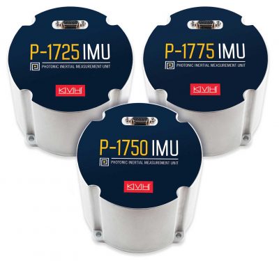
Photonic Integrated Chip Drives High-Performance IMUs
KVH Industries introduced the P-1750 inertial measurement unit (IMU) and the P-1725 IMU to complement its previously released P-1775 IMU…
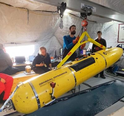
Arctic AUV Listens Its Way Forward with New Navigation Method
As the polar icecap melts, the waters of the Arctic Ocean assume ever-growing strategic and commercial importance. To enable U.S….
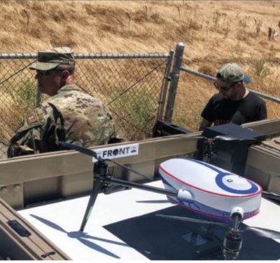
Base Protection Plus…
Easy Aerial and Travis Air Force Base pioneer automated drone-based military perimeter security. Located on the southwestern edge of California’s…
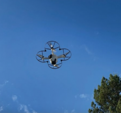
Sunflower Labs’ Autonomous Pivot
A high-end residential security provider expands into autonomous business surveillance. Early in 2020, Sunflower Labs’ launch at the Consumer Electronics…

TERMINUS: A Climate Research Expedition
The TERMINUS expedition to Greenland is uncovering critical data on glacier-ocean interactions and sedimentation at glacier termini, offering new insights ...

AUVSI Applauds Legislation Supporting Drones Grants for Law Enforcement
On behalf of the Association for Uncrewed Vehicle Systems International (AUVSI), President and CEO Michael Robbins issued the following statement ...
TEKEVER Partners with IMSAR to Advance Radar Technologies and Data Processing Solutions
TEKEVER, a European provider of unmanned aerial systems (UAS), has announced a two-year partnership agreement with IMSAR, a US-based company ...
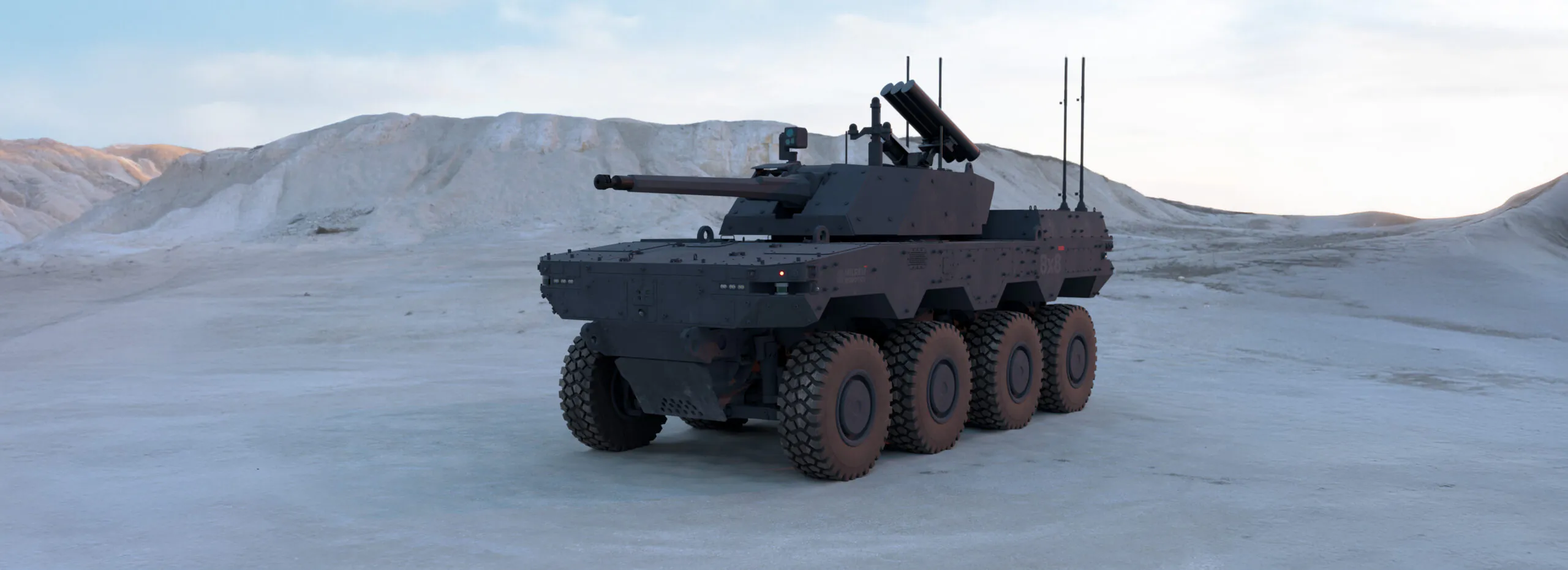
Milrem Robotics Debuts HAVOC Robotic Combat Vehicle (RCV) at IDEX 2025
Milrem Robotics, an Estonian robotics and autonomous systems developer, launched its 8×8 Robotic Combat Vehicle (RCV) at IDEX 2025. The ...
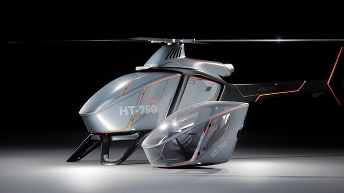
EDGE Launches ANAVIA HT-750 UAV at IDEX 2025
Among several new EDGE solutions being launched in the air domain is the ANAVIA HT-750, a high-technology rotary-wing unmanned heavy-lift aircraft ...
No posts found.
No posts found.
No posts found.