


Plymouth Rock Technologies Inc., a leader in developing unmanned technologies and detection apparatus, announces it has received an order for…
Inside Unmanned Systems
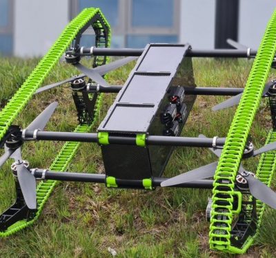
Hybrid Drone Project Completed – The HUUVER Drone Flies and Rides
A consortium of 7 partners from the EU has successfully completed the concept of Hybrid UAV-UGV for Efficient Relocation of…
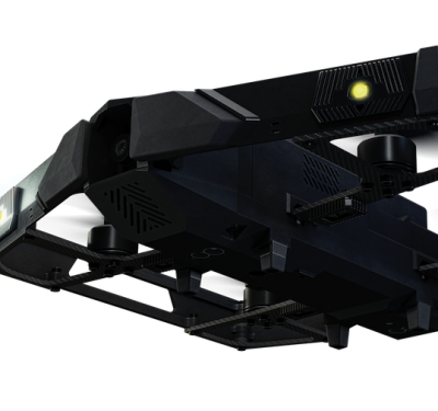
XTEND Brings The Metaverse to the Modern Battlefield
XTEND launches its Next Generation XTENDER tactical sUAS system with resilient indoor-outdoor navigation capability and integrated, proprietary Drone-Teaming technology For…

Business Roundup: Wisk Aero, RE2, Edge Autonomy, PickNik
Wisk Aero of Mountain View, California, a leading Advanced Air Mobility (AAM) company and developer of the first all-electric, self-flying…

Wisk Aero Secures $450 Million from The Boeing Company to Advance Certified Autonomous Electric Flight
Wisk, a leading Advanced Air Mobility (AAM) company and developer of the first all-electric, self-flying air taxi in the U.S.,…
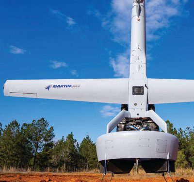
Up Against It: Advanced UAVs Overcome the Big Challenges of VTOL, Air Launch and Jamming
As tactical UAVs come of age, inertial technology’s ability to endure GPS outages while providing reasonable accuracy at high update rates…
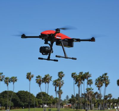
Hitec: Seizing an Opportunity
Hitec, known for servos, is leveraging its experience and reputation to make an impact in the drone market. While Hitec…
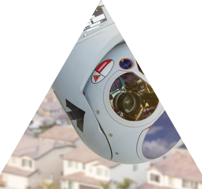
VectorNav: Getting It Right for Gimballed ISR
Selecting GNSS and Inertial for Intelligence, Surveillance and Reconnaissance Inertial technology coupled with GPS/GNSS plays a critical role in the…

AeroVironment Awarded $10.5 Million Puma LE Unmanned Aircraft Systems Foreign Military Sales Contract for U.S. Ally
AeroVironment, Inc. a global leader in intelligent, multi-domain robotic systems, today announced it received a $10,534,348 firm-fixed-price U.S. Department of Defense Foreign…
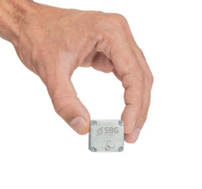
Tactical-Grade IMU in Small Form Factor
SBG Systems announced the tactical-grade Pulse-40 inertial measurement unit (IMU) in a miniaturized size for precision and robustness under harsh…

The Quartz MEMS Difference: Narrowing the SWaP Gap for Tactical Grade IMUs under Real-World Conditions
When it comes to selecting the optimal IMU for autonomous devices and other tactical- and navigation-grade applications, performance is paramount—and…

Poised for ISR Success : SATCOM Opens Up a New Dimension in Surveillance
The BOREAL UAV can fly much farther than the range of the UHF comms it’s equipped with. Solution? Get new…

FAA and AURA to Support Critical Communications in National Airspace
AURA Network Systems (AURA) and the Federal Aviation Administration (FAA) have entered into a four-year Cooperative Research and Development Agreement…
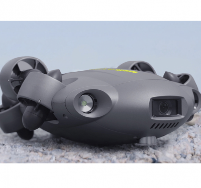
Small ROV Makes a Big Splash with its Expanding Variety of Professional Add-Ons
FIFISH V6 EXPERT, first debuted in late 2021, is a professional-class underwater robot and productivity solution. Equipped with all-new multi-attachable tooling…

Wingcopter teams up with UAV LATAM for drone delivery operations in Peru
German drone delivery pioneer Wingcopter is partnering with UAV LATAM, a Latin American holding with more than 10 years of…


SEA-KIT and Fugro ink contract for next generation 18m USV
World leading Geo-data specialist, Fugro, has ordered a SEA-KIT XL Class Uncrewed Surface Vessel (USV) for future North Sea operations….