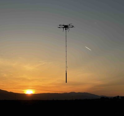
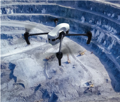
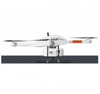
Skyfront, a producer of high-endurance hybrid drones, has launched its next-generation drone magnetometer, the Skyfront MagniPhy. Designed for surveying, mineral…
Survey
SPH Engineering-Equipped Drone Saving Mine Infrastructure
The Newcrest Telfer Mine is a very large gold, copper and silver mine located at Telfer in the Great Sandy…
HydrSurv Funded to Continue USV Seagrass Mapping
HydroSurv has won funding from Innovate UK to continue working with the University of Plymouth to enhance its technique of using unmanned surface vessels to map seagrass coverage on the seabed.
Trends: Drones Improving Inspections
Drones are becoming a common inspection tool across various industries, enhancing efficiencies, providing more accurate data and improving safety.
In the Spotlight: Geo Week 2022
From February 6-9, Diversified Communications brought together some of the unmanned and autonomous industries’ leading professionals in Denver to showcase…
MDGROUP ACQUIRES GEOCUE GROUP
mdGroup broadens its expertise in aerial LiDAR surveying technologies and consolidates its leadership in the U.S. in professional aerial surveying…
INS Technology Advances LiDAR Surveying Capabilities
Join Adam Barnes, Head of Product at Advanced Navigation, and Ashley Cox, Chief Operating Officer at Cordel, to find out…
A New Generation of Uncrewed Surface Vessels Cruises the North Sea from the Netherlands
Fugro’s Blue Essence, an offshore certified uncrewed surface vessel (USV) with an electric remotely operated vehicle (eROV), will begin its…
Geoscan and Topcon Team Up for Performance and Accuracy
The biggest spatial data company in Russia, Geoscan, integrates Topcon’s ultra-compact B111 GNSS receiver within its high-performance UAV systems. The…
For PNT Integration, Timing Is Everything. Inertial Supplies It.
GPS + inertial + camera + LiDAR + baro-altimeter = a very precise measurement, right? Not when the respective sensor…
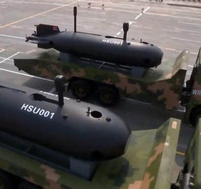
Autonomous Underwater Vehicles Form Part of China’s Marine Survey and Defense Strategies
A wide range of underwater unmanned vehicles (UUVs) is developing in China and could be used in future conflicts, particularly…
Topnet Live GNSS network expands to meet increased digitalization demands
Topcon Positioning Group announces an expansion of the Topnet Live Global Navigation Satellite Systems (GNSS) network of correction solutions…
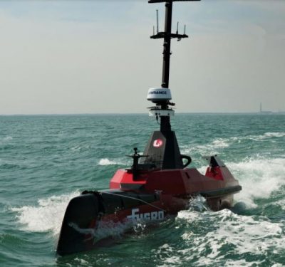
Blue Shadow Autonomous Hydrography Vessel
The Fugro Blue Shadow is a 9-meter long uncrewed surface vessel designed to increase data acquisition efficiency and accelerate hydrographic…
Houston Engineering Deploys Drone-Based LiDAR for Road Surveys
For years, the team at Houston Engineering has deployed drones to collect data for a variety of projects, quickly providing…
Microdrones To Take Off in Vietnam
A well-known Hanoi-based supplier of surveying equipment, measuring devices and services is adding Microdrones surveying equipment to its portfolio. Survey…
New High-Precision Smart Antennas for Robust Performance in Difficult Environments
Trimble has introduced two new GNSS smart antennas, the AX940 and AX940i, designed for a broad range of high-precision applications…


