
Topcon Positioning Group recently released Topcon ContextCapture, a reality modeling software powered by Bentley Systems. The software will be offered…
News & Analysis

Expert Commentary: The Dark Side of Detect and Avoid
Hacking U.S. drones to spy on U.S. infrastructure.
By Major General (Ret) James Poss
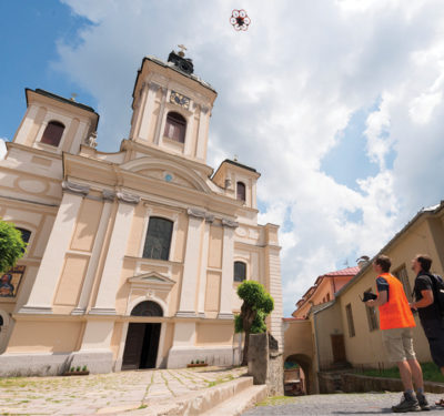
Picturesque: Using Drones to Preserve Historical Sites
Europe’s heritage sites reflect a history that goes back thousands of years. But the old continent also boasts a resourceful and forward-looking high-tech community, including a growing unmanned systems industry.

The Promising Business of Counting Sunflowers
French UAS manufacturer Delair-Tech is pushing the boundaries of high-tech agriculture with seed producer Maisadour Semences to develop drone-based applications for counting sunflower plants across vast cultivated fields.
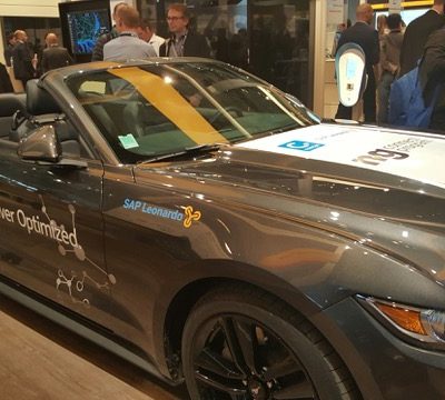
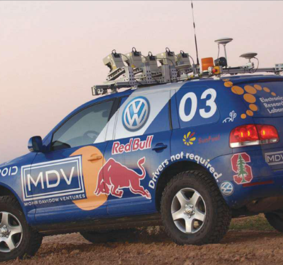
Maps Critical to Autonomous Vehicles
BARCELONA—While basic navigation maps allow drivers to turn right or left, vision is by far the car’s most dominate sensor,…
senseFly Partners with MicaSense to Offer Ag Professionals End-to-End Drone & Cloud Processing Solution
SenseFly recently reached a commercial agreement with leading agricultural data gathering, processing, and analytics provider, MicaSense, that enables senseFly and its…
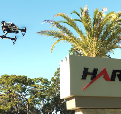
Harris Set to Develop First BVLOS Network for UAS Operators
Harris Corporation, with help from the University of North Dakota and the Northern Plains UAS Test Site, plans to develop…
Aeryon Labs Completes First Approved Canadian BVLOS Drone Flight
The SkyRanger from Aeryon Labs recently completed the first Transport Canada approved Beyond Visual Line of Sight (BVLOS) drone flight.
Cloud-Seeding UAS Completes BVLOS Flight in Nevada
The Drone America Savant cloud-seeding unmanned aircraft system (UAS) recently completed a one-hour beyond visual line of sight (BVLOS) flight…
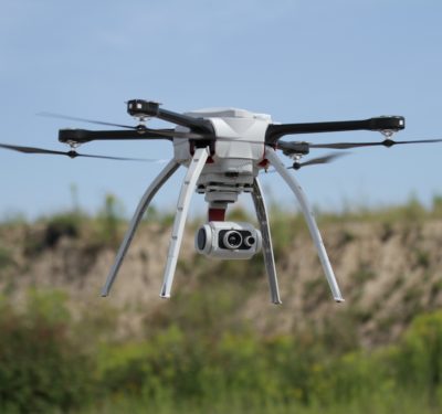
UAV Survey and Mapping Market Highlighted at LiDAR Conference
DENVER—Companies showed off their newest products and services for the booming unmanned aerial vehicle (UAV) survey and mapping market at…
Lockheed Martin’s Autonomous Systems Unit Testing Air-Ground Vehicles
Lockheed Martin Corp. is developing autonomous vehicles and drones from a growing facility in Colorado. The company’s Autonomous Systems unit,…
GeoCue Offers Mapping Kit
Another company at ILC, with strong roots in manned aerial mapping systems, offers products for UAV market with emphasis on…
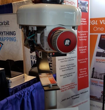
Riegl Offers Lightweight LiDAR
Riegl exhibited its miniVUX-1UAV, first rolled out in October 2016 at the InterGEO conference in Germany, for remotely piloted helicopters…
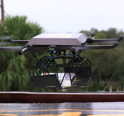
UPS Tests Drone Package Delivery
The Workhorse HorseFly UAV delivery system successfully delivered a package after being launched from the top of a UPS vehicle.

Expert Commentary: It’s the Data Link, Stupid
If the Air Force had let me order custom t-shirts for everyone back when I was helping manage our unmanned…
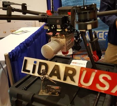
VectorNav and LiDAR USA Offer Aerial Mapping Product
To take advantage of smaller UAVs for aerial surveys, LiDAR USA is integrating VectorNav’s VN-300 Dual-Antenna Inertial System into its…
Nevada Bill Calls for Legalization of Self-Driving Cars
The legalization of self-driving cars in Nevada may become a reality through a draft bill from the Governor’s Office of Economic Development.
