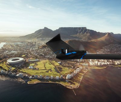
senseFly recently received approval from Brazil’s National Civil Aviation Agency (ANAC) to fly its eBee X fixed-wing drone for BVLOS…
senseFly
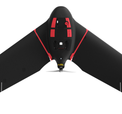
senseFly Releases eBee TAC UAS
The new eBee TAC fixed-wing UAS from senseFly is optimized for enhanced tactical mapping. The portable UAS weighs 3.5 pounds…
senseFly Launches eBee Ag Mapping Drone
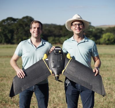
Switzerland-based senseFly recently added the eBee Ag fixed-wing mapping drone to its eBee X series. The user-friendly solution is designed…
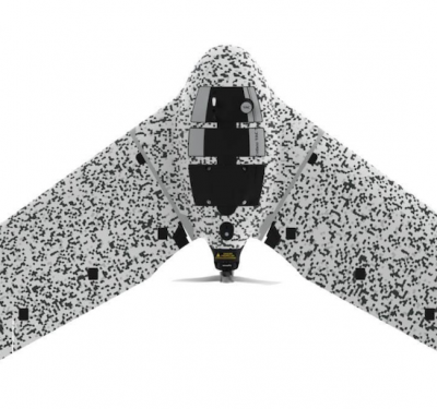
senseFly Introduces eBee Geo Fixed-Wing Mapping Drone
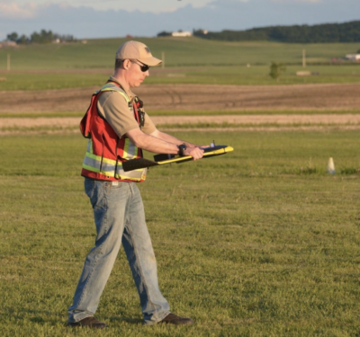
senseFly recently launched the eBee Geo, an option for surveyors and GIS professionals who are new to deploying fixed-wing drones…
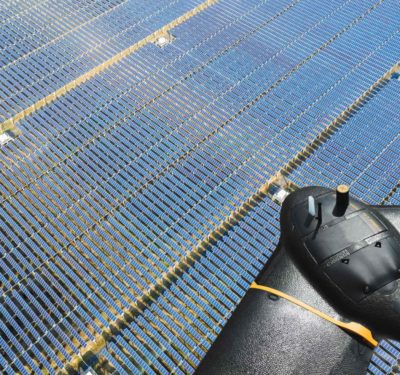
senseFly Introduces Solar 360 at AUVSI XPONENTIAL
senseFly launched its newest solution at AUVSI XPONENTIAL in Chicago: the Solar 360 thermal drone. The UAS was developed in…
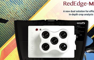
senseFly, MicaSense Join to Offer the senseFly eBee X with MicaSense RedEdge-MX for Crop Analysis
The agriculture industry now has a new tool for in-depth crop analysis: the senseFly eBee X with MicaSense RedEdge-MX. senseFly…
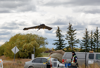
senseFly and IN-FLIGHT Data Complete Urban BVLOS Project in Calgary
IN-FLIGHT Data and senseFly recently collaborated to fly an unmanned aircraft system (UAS) beyond visual line of sight (BVLOS) in…
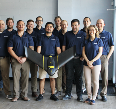
senseFly Moves North American Operations to Research Triangle in North Carolina
senseFly, a provider of professional mapping drones, and a commercial drone subsidiary of Parrot Group, today announces the relocation of…
IN-FLIGHT Data and senseFly team up for Beyond Visual-Line-Of-Sight (BVLOS) Trial in Canada
IN-FLIGHT Data is set to begin a five-month UAS BVLOS Proof-of Concept Trial in Canada with help from senseFly and…
