As driver-assist and driverless technologies emerge experts predict that car companies will incorporate multiple operating systems to keep sofware up-to-date and their customers safe.
Renee Knight
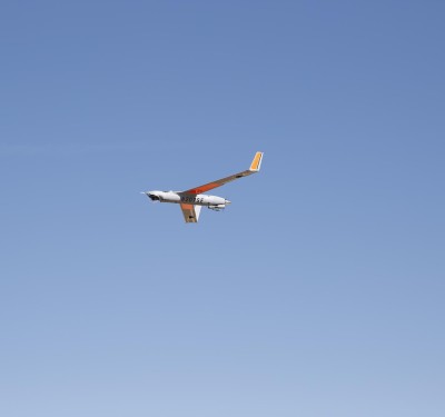
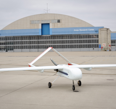
Insitu ScanEagle completes successful BNSF Railway inspection
This marks the first commercial beyond visual line of sight operation with a UAS in the contiguous 48 states.
UAS Making its Mark in Oil and Gas
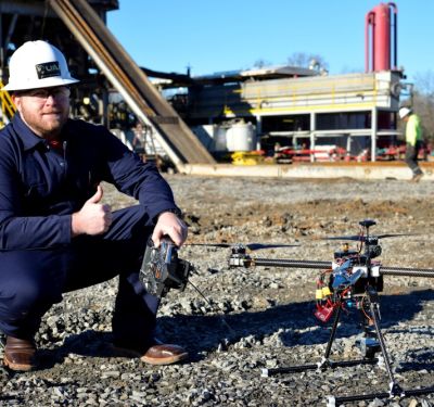
More oil and gas companies are exploring the ways unmanned aircraft can support safe development and operation at onshore and offshore facilities.
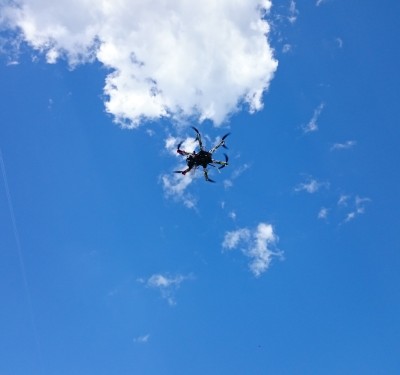
Olin College Works with Partners to Develop UAS for Use in Wildfires
Olin, MIT and Scientific Systems Company are developing a system of drones that communicate and provide firefighters with real-time situational awareness.
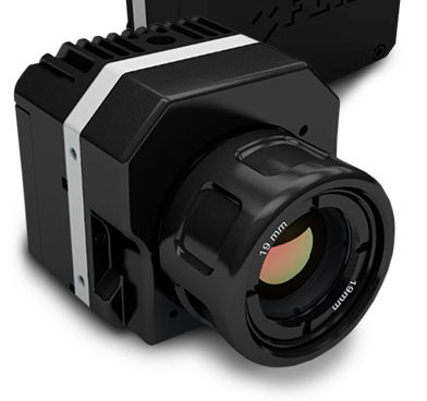
A Closer Look at the FLIR Vue Pro
The benefits of this new professional grade thermal camera designed specifically for unmanned aircraft systems.
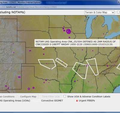
Lockheed Martin Flight Service Pilot Portal Expanding UAS Services
The portal helps pilots track other aircraft, both manned and unmanned.
Using UAS After a Disaster
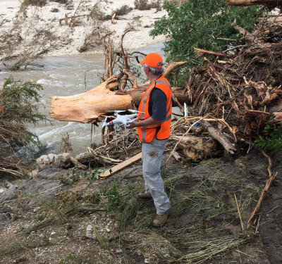
The Lone Star UAS Center of Excellence and Innovation (LSUASC) at Texas A&M University-Corpus Christi assisted in search and rescue efforts after devastating flooding in Wimberley, Texas. Here’s what they learned from those missions.
Flying UAS to Protect and Serve
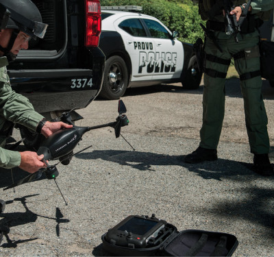
Law enforcement agencies are incorporating unmanned aerial systems into their missions. Various agencies are using this technology to improve efficiencies and public safety, from crime scene investigation to search and rescue.
Leading the Way
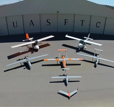
The New Mexico State University Unmanned Aircraft Systems Flight Test Center became the first Federal Aviation Administration-approved UAS test site in 2007. Here’s how they continue to advance unmanned aircraft today.
Insitu ScanEagle Monitors Fires in Olympic National Park
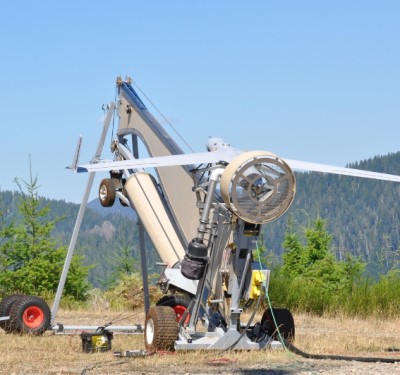
Members of the Insitu Rapid Response team recently completed a demonstration showing how the ScanEagle unmanned aircraft can help during wildfires.
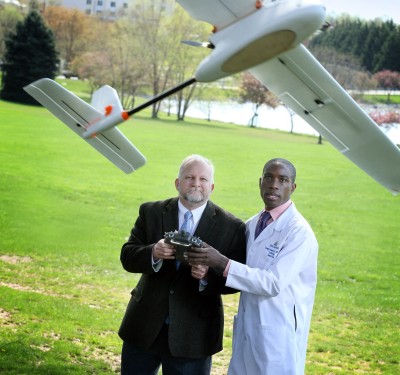
Johns Hopkins Researchers Use UAS to Transport Blood
Findings from the university’s 2014 study were recently published in the journal PLOS One.
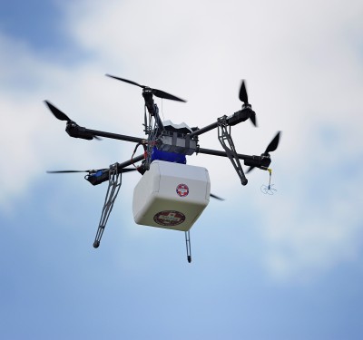
Flirtey UAS Delivers Medicine for the First Time in the U.S.
The supplies were delivered as part of the Let’s Fly Wisely event during the annual Remote Area Medical Clinic at the fairgrounds in Wise, Va.
Let’s Fly Wisely Event Deploying UAS to Deliver Medical Supplies
The event is set for July 17 during the annual Remote Area Medical Clinic at the fairgrounds in Wise, Va.
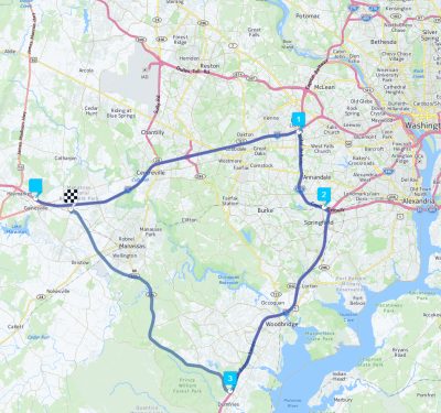
Virginia Automated Corridors Makes Testing Driverless Vehicles Possible in Real-World Settings
The VAC offers multiple testing environments through 70 miles of urban interstates and rural arterials in Northern Virginia.
Tropical Storm Irene Prompts UAS Research at the University of Vermont’s Spatial Analysis Lab
The team has been using UASs for debris mapping and various other projects in Vermont.
UAS Technology Used to Map Compromised Texas Dam
Heavy rainfall has put the dam at risk of breaking. Here’s how one UAS company is trying to help.
NASA Developing Unmanned Aerial System Traffic Management
NASA is collaborating with several partners to develop this system, with the first build demonstration scheduled for late August.


