After becoming the first to begin testing Draganfly’s Pandemic Drone, community push back led the Westport Police Department to opt…
Sensors
EasyMile and Velodyne Lidar Announce Three-Year Agreement
EasyMile will use Velodyne Lidar sensors to enhance its fleet of EZ10 autonomous shuttles. The companies recently reached a three-year…
Quantum-Systems Offers New Camera Imaging System for its Mapping UAV
Quantum-Systems, a developer of eVTOL fixed-wing drones, is offering professional customers the latest payload option for its small fixed-wing Trinity…
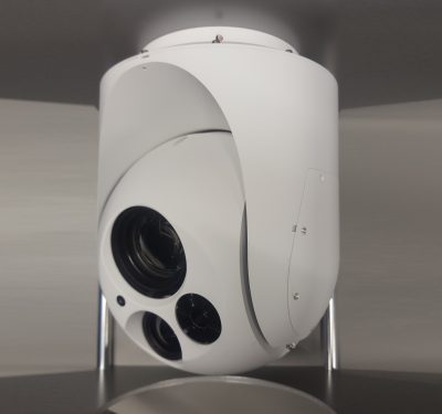
Octopus ISR Systems Introduces New Surveillance Camera System
Octopus ISR Systems recently released the Epsilon 140LC Airborne Surveillance Camera System. The airborne electro-optical/infrared (EO/IR) surveillance system features advanced…
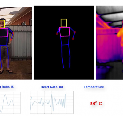
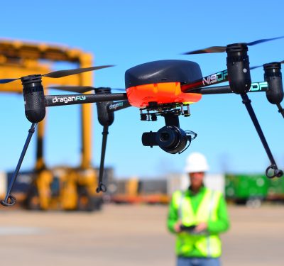
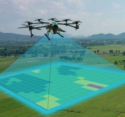
Draganfly Selected to Develop “Pandemic Drone”
The drone will have the ability to detect infectious and respiratory conditions in groups of people. In response to the…
Navigate in Any Environment
Three different sensor integrations, covering vehicle navigation in the full range of environments, will be covered in the February 12…
Advanced LiDAR-on-Chip Builds HD Maps for Autonomy
Draper has advanced its development of a LiDAR-on-a-chip using patented, all-digital MEMS optical switches for light beamsteering to gather the…
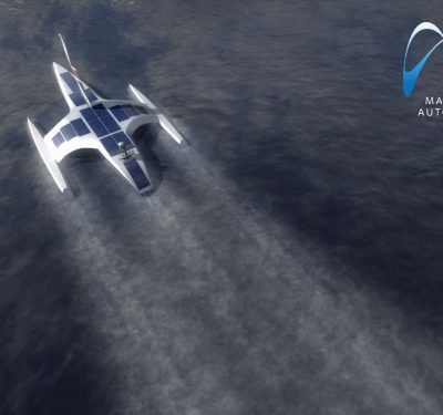
Autonomous Mayflower will cross Atlantic, researching as it goes
A 15-meter, 5-ton wind- and solar-powered ocean research vessel will cross the Atlantic from Plymouth, UK to Plymouth, Massachusetts, USA,…
Updated LORD Corporation Sensing Software Offers Inertial Product Support for Optimal User Experience
LORD Corporation, a global provider of sensing systems, has released the latest version of its SensorConnect™ sensing software, featuring significant…
Applanix Enhances POSPac Trimble Post-Processed CenterPoint RTX Correction Service to Support UAV Mapping Without Base Stations
Applanix, a Trimble Company, announced Tuesday that the POSPac Trimble Post-Processed CenterPoint RTX™ (POSPac PP-RTX) correction service has been enhanced…
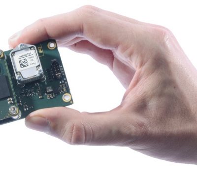
New Quanta Series INS/GNSS Dedicated to Mobile Mapping Presented at INTERGEO
SBG Systems will present for the first time at the INTERGEO show in Stuttgart (Germany), the Quanta Series, a brand…
NovAtel Now Delivering Enhanced Signal Acquisition, Time and Accuracy
NovAtel, part of Hexagon’s Positioning Intelligence division, now brings users greatly improved processing speed and accuracy as well as significantly…
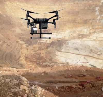
SureStar Releases Mini-LiDAR System with Applanix APX UAV
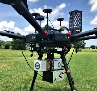
The Genius drone LiDAR system combines SureStar’s UAV-based LiDAR sensor with Applanix’ APX OEM module for a lightweight UAV mapping…
LiDARUSA Puts Safety First With Drone Rescue Systems
LiDARUSA has announced the option of the Drone Rescue Systems parachute system with all DJI M600 UAV sales. As UAV’s…
Call for Papers: 2019 DGON Inertial Sensors and Systems (ISS) Symposium Gyro Technology
The symposium on Inertial Sensors and Systems, which will be held in Braunschweig, Germany on September 10-11, 2019, is issuing a call for…
YellowScan Releases New CloudStation Software
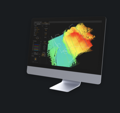
YellowScan, a UAV LiDAR Solutions leader, recently announced the release of its new software, CloudStation, which is designed to provide…
LORD Corp. Implements Latest Inertial Sensing Technology on Clearpath Robotics Research Robot Platform
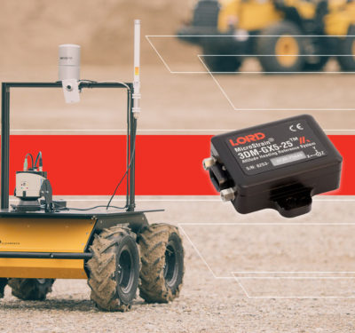
LORD Corporation, a provider of sensing systems, and Clearpath Robotics, have partnered to bring industry-leading inertial sensors to the Clearpath…


