Registration is still open for this Free Webinar on Tuesday, April 16, 2019 from 1:00 PM – 2:30 PM ET….
Aerial Photography
DJI Introduces Software for 3-D Modeling, Mapping
DJI has introduced new data visualization software called DJI Terra, which can generate 3-D models and maps from raw data…
DeltaQuad Pro #INSPECT Newest UAS from Vertical Technologies
Vertical Technologies recently introduced the DeltaQuad Pro #INSPECT, a vertical take-off and landing drone (VTOL) designed for utilities, wildlife and…
Microdrones Webinar: Crafton Tull’s Success Story After Introducing UAV-based LiDAR Into Workflow
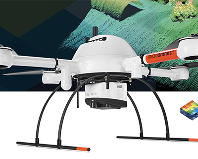
Rome, NY – Join Microdrones for their next Wednesday Webinar on April 3 and learn how Crafton Tull successfully implemented UAV-based…
Oklahoma State University Receives Permission to Deploy Drones in Swarms
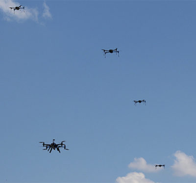
Oklahoma State University’s (OSU) Unmanned Systems Research Institute (USRI) recently received permission from the Federal Aviation Administration to fly fixed…
Chula Vista Police Approved for Beyond-Visual-Line-of-Sight Drone Flights
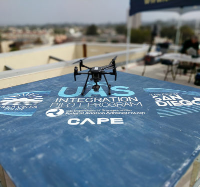
The police department in Chula Vista, California is now the first public safety organization allowed to regularly fly drones beyond…
Last Call — Webinar: Scanning Ahead with Unmanned Waveform LiDAR
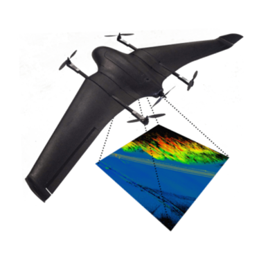
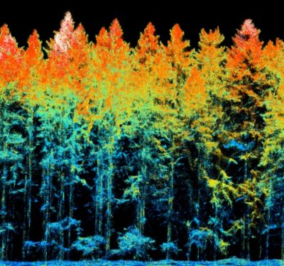
LiDAR has introduced pulsed-light precision and project-specific flexibility across sectors from agriculture to line inspection. Maximizing its deployment can yield…
senseFly, MicaSense Join to Offer the senseFly eBee X with MicaSense RedEdge-MX for Crop Analysis
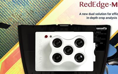
The agriculture industry now has a new tool for in-depth crop analysis: the senseFly eBee X with MicaSense RedEdge-MX. senseFly…
Impossible Areospace’s US-1 Drone Assists in SWAT Mission
Newly released video from Impossible Aerospace‘s groundbreaking electric drone shows how the unmanned aircraft took part in its first SWAT…
The Drone Fund Invests in Malaysia-based Aerodyne Group
Tokyo-based Drone Fund has invested in the Aerodyne Group, a Malaysia-based drone service provider with offices in 10 nations around…
Yuneec International and Mobilicom form Partnership to Develop Two UAS
Yuneec International and Mobilicom recently entered into a strategic partnership to develop two unmanned aircraft systems (UAS) for both the…
Webinar: Scanning Ahead with Unmanned RIEGL Waveform LiDAR
With a significant increase in demand for high performance sensors and systems as the Unmanned Aerial Systems (UAS) marketplace expands…
Exyn Unveils the A3R, a Fully Autonomous System for Data Collection in GPS-Denied Environments
Exyn recently introduced the Advanced Autonomous Aerial Robot, or A3R, a solution the company is describing as the first fully…
House Passes Bill Expanding Use of UAS and Location Data in Fight Against Wildfires
The House passed legislation February 26 promoting the use of drones and other advanced technology to improve government response to…
Fugro Uses Rapid Airborne Multibeam Mapping System to Acquire Integrated Land, Sea Data Over Turks and Caicos Islands
Fugro has completed a landmark data acquisition campaign over the Turks and Caicos Islands, marking the first commercial success of…
Terra Drone Japan and Plimsoll UAV in Brazil Join to Establish Terra Drone Brazil
Terra Drone Japan and Plimsoll UAV have joined forces to establish a joint venture called Terra Drone Brazil. Terra Drone…
Commercial UAV Expo Europe is Scheduled for April 8-10
Commercial UAV Expo Europe, April 8-10 in Amsterdam, is the leading trade fair and conference focusing on the integration and…


