
Shield AI announced its selection as a mission autonomy provider supporting the U.S. Air Force Collaborative Combat Aircraft (CCA) program….
Engineering & Design
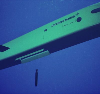
Lockheed Martin Unveils ‘Lamprey’ Undersea Drone That Can Hitchhike on Warships
The Lamprey MMAUV is designed to latch onto ships and submarines, recharge in transit, and arrive on station as a…
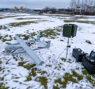
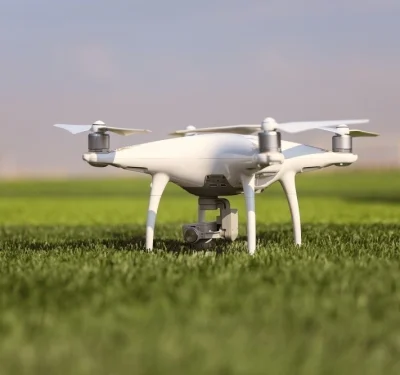
UAV Navigation-Grupo Oesía and EAD (Ekolot Aerospace & Defense) Drive ZEUS VTOL Platform in Poland
UAV Navigation-Grupo Oesía has announced its collaboration with the multinational company based in Poland Ekolot Aerospace and Defense (EAD) to integrate its…
NATO AIS Fund Awards IDE-led Project to Accelerate USV Standardization
The new effort will map gaps across NATO and non-NATO standards and certification frameworks and propose a path for tighter…

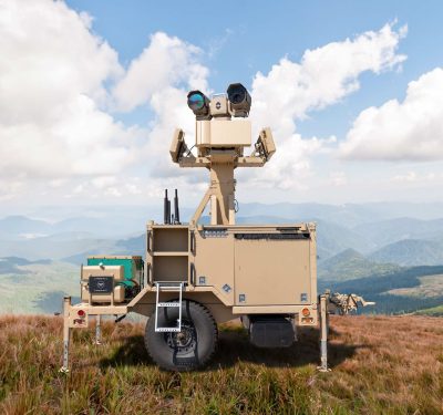
Singapore Airshow: Counter-UAS the “Must-Have” Capability
Singapore Airshow 2026 underlined how quickly counter-drone technologies are becoming mainstream across air forces, homeland security and critical infrastructure operators….
Michigan’s NADWC Tapped as Key Training Hub for Advanced Military Drone Operations
A new federal designation positions Michigan’s National All-Domain Warfighting Center as a national test and training range for advanced uncrewed…
JIATF 401 Offers Low-Cost Framework to Harden Sites Against Small UAS
New “Harden, Obscure, Perimeter” framework translates battlefield lessons into low-cost, non-technical defenses for stadiums, bases and public facilities ahead of…

MatrixSpace Expands AI Platform for Multi-Sensor Counter-UAS Threat Detection
New edge-to-cloud software layers fuse radar, Remote ID, ADS-B and optical feeds into a single, real-time low-altitude airspace picture for…
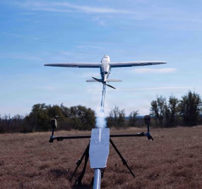
Pentagon Names 25 Vendors for Phase I of ‘Drone Dominance’ One-Way Attack UAS Program
The new Drone Dominance Program will put 25 vendors through a “Gauntlet” fly-off at Fort Benning this month, with about…
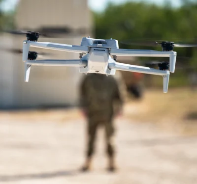
The Army’s New Fast Lane for C-UAS Tech
The U.S. Army is standing up a new “fast lane” for counter-UAS and tactical edge systems, and it’s starting to…
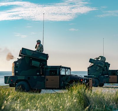
Kongsberg Counter-UAS Network Forms Core of Poland’s SAN Anti-Drone Shield
Kongsberg Defence & Aerospace and PGZ will deliver 18 SAN counter-UAS modules under a NOK 16 billion contract, combining PROTECTOR-based…

Safeguarding the Skies: The U.S. Needs a Modern Counter-UAS Framework
Drones have transformed modern warfare. From Ukraine to the Middle East, uncrewed aircraft systems (UAS) have extended operational reach, reduced…

Norway’s Eelume WP960 USV Debuts as AI-Enabled Mine Countermeasures “Mothership”
Maritime Robotics, Eelume and partners have unveiled a new optionally-manned USV that carries a swarm of flexible AUVs and ROVs,…
C-UAS: Anticipating What’s Next
The drone threat continues to evolve—both on the battlefield and now in the homeland—making it critical for counter-UAS (C-UAS) technology…
Athena C-UAS Integration Bolsters Air Defense over Washington, DC
After seven years of development, the government-owned Athena integration kit has reached initial operating capability for the National Capital Region,…
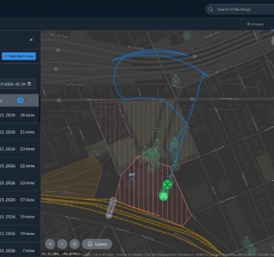
Airspace Link Adds Real-Time Drone Alert Tool in AirHub Portal Ahead of 2026 World Cup
The new Alert Areas feature in Airspace Link’s AirHub Portal gives public safety agencies and critical infrastructure operators real-time notifications…

DARPA’s RACER Program Crosses Finish Line, Puts Off-Road Autonomy in Army, Marine Corps Hands
After four years of experiments with Army and Marine Corps units, DARPA’s RACER program is wrapping up with a reusable…
