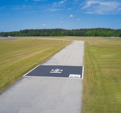
PDW has received its first contract award with the U.S. Air Force for its C100 multi-mission UAS, marking a major milestone in the…
October, 2025
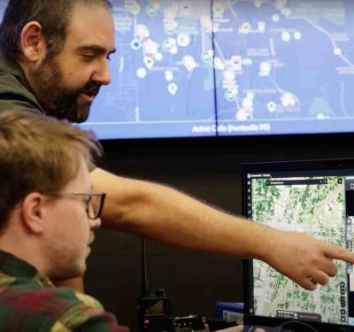
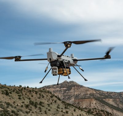
Ohio’s Statewide Drone First Responder Program Takes Flight
SkyfireAI has announced that it has been selected by the Ohio Department of Transportation (ODOT) to serve as program manager,…
Teledyne Optech Highlights Advanced LiDAR and Marine Mapping Systems at INTERGEO 2025
Teledyne Optech introduced an expanded lineup of LiDAR, imaging, and marine-mapping technologies at INTERGEO 2025, underscoring the company’s focus on…
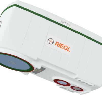
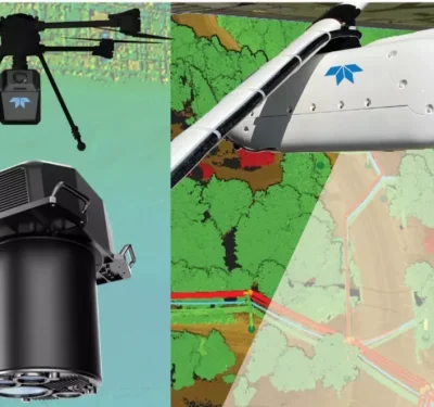
RIEGL Debuts UAV-Optimized “Ultimate LiDAR” at INTERGEO 2025
New airborne and bathymetric sensors extend range, precision, and real-time georeferencing for drone-based mapping and inspection. At INTERGEO 2025, RIEGL…
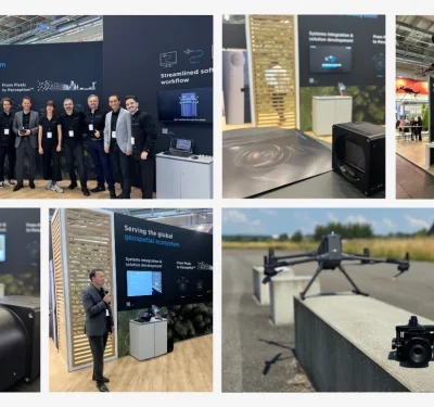
Phase One Unveils Drone-Ready Imaging Stack at INTERGEO 2025
At INTERGEO 2025, Phase One rolled out a suite of new innovations explicitly aimed at aerial mapping and inspection applications. The upgrades,…
GeoCue Announces New, NDAA-Compliant TrueView 3D LiDAR Sensor at INTERGEO 2025
GeoCue has introduced its TrueView 641, a new NDAA-compliant airborne LiDAR sensor, at INTERGEO 2025. The announcement positions the 641 as a more…
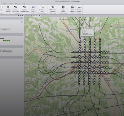
New Trimble Software Enhances Mobile Mapping Workflows
Trimble has announced its next-generation post-processing software, Trimble Applanix POSPac Complete. The solution combines Trimble’s cutting-edge, industry-leading technologies: Trimble ProPoint®…
Manufacturing Legacy Meets AAM Innovation
Michigan is merging its automotive heritage, geographic diversity, and educational capacity into a coordinated Advanced Air Mobility (AAM) strategy. Through…
Virginia Tech’s Smart Airspace Vision
Virginia Tech’s Mid-Atlantic Aviation Partnership (MAAP) is pioneering university-led AAM infrastructure—from basic off-airport vertiports to custom instrument routing tailored to…
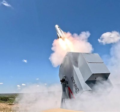
Anduril, Zone 5 Selected to Advance DIU’s Counter-UAS NEXT Program
The Defense Innovation Unit (DIU) has awarded contracts to Anduril Industries and Zone 5 Technologies to further develop low-cost, scalable drone interceptors under its…
The Invisible Link
Advanced air mobility hinges on invisible infrastructure. Through its multilink Halo platform, Elsight is enabling the BVLOS communications layer that…
The Architecture of Integration
With its Vantis infrastructure and a decade of real-world flight experience, the Northern Plains UAS Test Site is emerging as…
