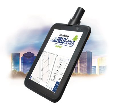
Geneq is pleased to announce the SXtab RTK, the latest tablet model in the SXtab series. This rugged and versatile…
Survey
Low SWaP-C for Centimeter-Level UAV Survey, Machine Control, Intelligent Vehicles
Dual-frequency GNSS and recent advances in inertial technology combine with advanced software algorithms to deliver high-performance real-time positioning in robotics,…
UAV Survey at Centimeter Level with Ease
High-performance real-time positioning in UAV survey, photogrammetry, machine control and intelligent vehicles is now possible with entry-level inertial and GNSS…
New OEM Hardware/Software for Direct Georeferencing of Airborne Sensor Data
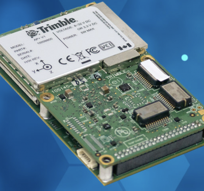
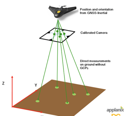
Applanix and Trimble showcase the Trimble AP+ Air OEM solution for Direct Georeferencing of airborne sensor data at the recent…
Propeller’s UAS Perspective
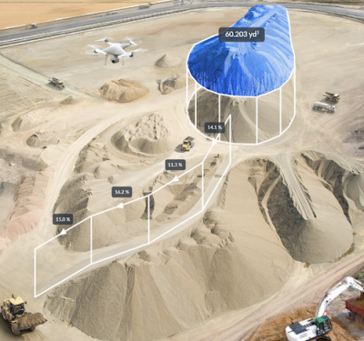
Rory San Miguel is the CEO of Propeller, a 3D cloud-based visualization and analytics solution, who launched some certitudes about…
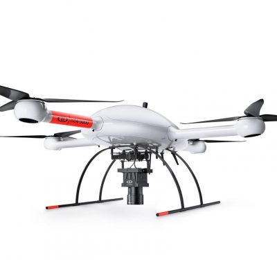
Measure to Supply Microdrones Surveying Equipment in Brazil
Measure, an intelligent technological solutions provider headquartered in Belo Horizonte, Brazil, has announced they are now offering Microdrones Surveying Equipment…
Qinertia PPK Software From SBG Systems Now Open to all IMUs, GNSS Receivers
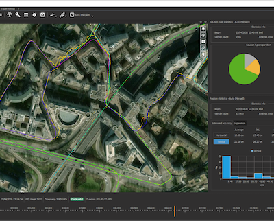
Qinertia, a PPK software from SBG Systems, now supports third-party Inertial Measurement Units (IMUs) and offers a GNSS post-processing license…
Microdrones aaS Offers Greater Accessibility, Affordability
Microdrones, the global aerial mapping technology company, is rolling out a major initiative. MdaaS—Microdrones as a Service—provides a broader market…
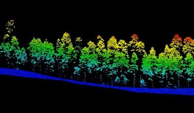
LiDAR in mapping market expected to pass $4 billion by 2026
The global market for LiDAR in mapping surpassed $900 million in 2019, and is expected to surpass $4 billion by…
Reality Drones: Surveyors Rise to Work Challenges in Video Series
A new online video series and free webinar document the real-life challenges and hazards that professional surveyors encounter using drones…
Microdrones is Taking Photogrammetry to New Heights with the mdMapper3000DuoG VHR
The company is releasing three new Integrated UAV Systems and an updated aerial methane inspection package, while announcing a forthcoming…
In-House Drone Surveying Service Launch a First for UK Property Industry
In an effort to deliver clients with faster, better and more cost-effective data, independent building and project consultancy Paragon has…
Trimble GNSS Smart Target Base Station Designed for Simplified Map Production from UAVs
Trimble announced last week the release of the Trimble GNSS Smart Target Base Station for high-accuracy mapping from Unmanned Aerial…
MotionDSP Partners with Universities to Help Advance UAS Research
MotionDSP recently announced collaborations with Auburn University, the University of North Dakota and Kansas State University Salina to research new applications using video.
Refocusing on LiDAR for the UAV Market
Laser scanning from unmanned aircraft opens the door to more cost effective 3-D mapping and other applications particularly when there…
RIEGL USA’s RiCOPTER Unmanned Scanning Platform is Designed for a Variety of Applications
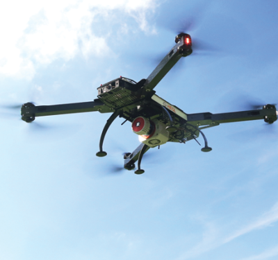
RiCOPTER, the ready to fly remotely piloted airborne laser scanning system from RIEGL USA, can be used for a variety…
Latest Version of Sirius Pro Designed to be Compatible With Existing RTK Base Stations or NTRIP
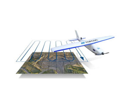
Topcon Positioning Group and MAVinci GmbH recently released the latest version of the Sirius Pro surveying Unmanned Aerial System to…


