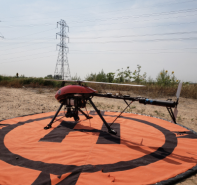
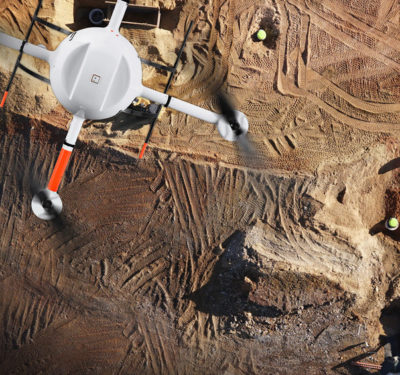
Xcel Energy is now operating unmanned aircraft systems (UAS) beyond visual line of sight (BVLOS) for ongoing inspections of transmission…
UAV Technology Conference Returns to Prague
Following last years’ successes, SMi’s third annual UAV Technology conference returns to Prague, Czech Republic later this month. UAVs now…

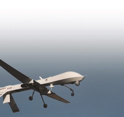
8 Ways Drones will Respond to Hurricane Florence
Last year, hurricanes Harvey, Irma, and Maria served as a giant beta test allowing the unmanned systems industry to give…

NUAIR Selects AirMap to Provide UTM Services for UAS Corridor
AirMap will provide UAS Traffic Management (UTM) services for the nation’s first UTM 50-mile test corridor being built in New…
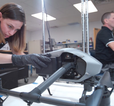
Delair Receives Funding from Intel Capital to Further Develop Data-Driven Drone Solutions
Commercial drone solutions supplier Delair today announced that it has recently closed its expansion round with an investment from Intel…

mapKITE Integrates Galileo into Drones to Give Surveyors a New Point of View
The mapKITE project, which is funded by the European Global Navigation Satellite Systems Agency (GSA), has created an advanced surveying…
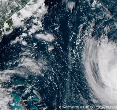
Airborne Response, Edgybees and UgCS to Provide UAS Software for Hurricane Florence Responders
MIAMI – As potentially devastating major Hurricane Florence approaches the U.S. mid-Atlantic coast, UAS-based disaster response experts Airborne Response has…

Hyundai Motor Company Demonstrates Level 3 Truck Autonomy in South Korea
Hyundai Motor Company recently completed the first “domestic autonomous truck highway journey” in South Korea. Hyundai’s Xcient truck demonstrated Level…

AutoX Set to Begin Grocery Delivery Service in California
This fall, AutoX’s self-driving cars will begin delivering groceries in San Jose. The customers located in geo-fenced areas throughout the…
Microdrones Continues Global Growth with Australian Expansion
This month, Microdrones expanded its global footprint, with dedicated resources to support Australia, New Zealand and Papua New Guinea. The…

Five Good Questions
Five Good Questions Q: What need does the Robotic Aircraft Sensor Program (RASP) demonstration program meet? A: Right now it actually addresses…

PrecisionHawk Acquires Drone-Based Solutions Companies HAZON and InspecTools
PrecisionHawk, Inc., a leading provider of drone technology for the enterprise, today announced that it has purchased both HAZON, Inc….

sUAS Inspection Operations Course Offered on Oct. 1 at Commercial UAV Expo
Embry-Riddle Aeronautical University’s Worldwide Campus, in conjunction with Commercial UAV Expo 2018, will offer a pre-event workshop, sUAS Advanced Inspection Operations Course, at the…

Big Sky Europe? – Brussels View
The new EU basic aviation regulation, as it pertains to drones, sets down in stone the key principles of…

Wind Borne
Inspired by both sailboats and the wandering albatross the wind-powered UNAv can theoretically travel thousands of miles. Drones are increasingly taking…

InterDrone Returns to Las Vegas this Week
After an impressive show last year (3,700+ delegates from 59 nations and rave reviews), InterDrone has returned to Las Vegas,…
Extracting Forensic Data From Drones
A new online database can help law enforcement glean precious details from drones. The dream that drones may one day…
Trimble and DroneDeploy Collaborate on Drone Mapping with High-Precision Positioning Service
Trimble announced a collaboration with DroneDeploy to integrate Trimble's Applanix POSPac CloudⓇ post-processed kinematic (PPK) GNSS positioning service, featuring CenterPointⓇ ...
CDA and MIT Lincoln Laboratory Partner on Drone Research to Support BVLOS Operations
The Commercial Drone Alliance (CDA) and the Massachusetts Institute of Technology Lincoln Laboratory (MIT LL) have initiated a research collaboration ...
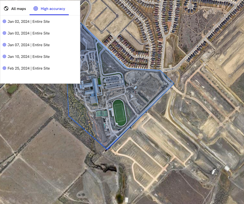
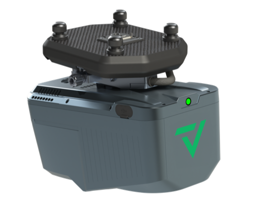
Exyn Technologies Releases Nexys for 3D Mapping in Complex Environments
On February 9, 2024, at GeoWeek, Exyn Technologies announced the launch of Exyn Nexys, a new 3D mapping solution designed ...
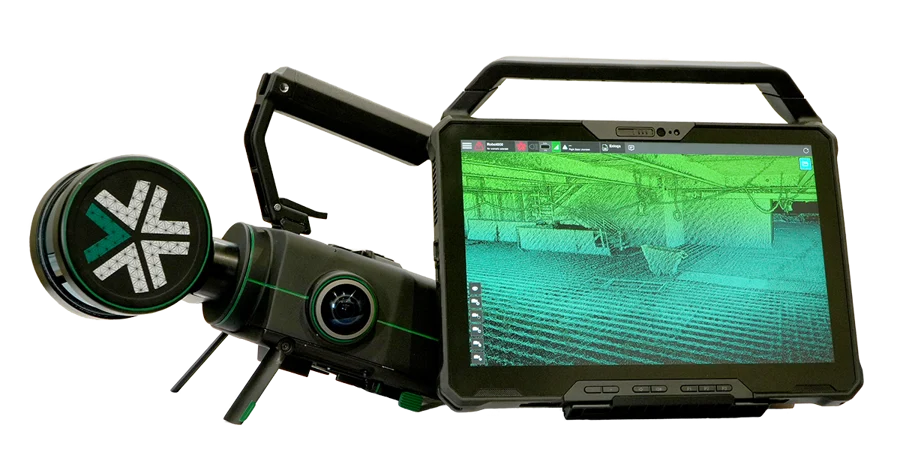
GeoCue and CHC Navigation Introduce TrueView 540 LiDAR System
GeoCue, a provider of geospatial hardware and software, in collaboration with CHC Navigation, a company known for its precision positioning ...
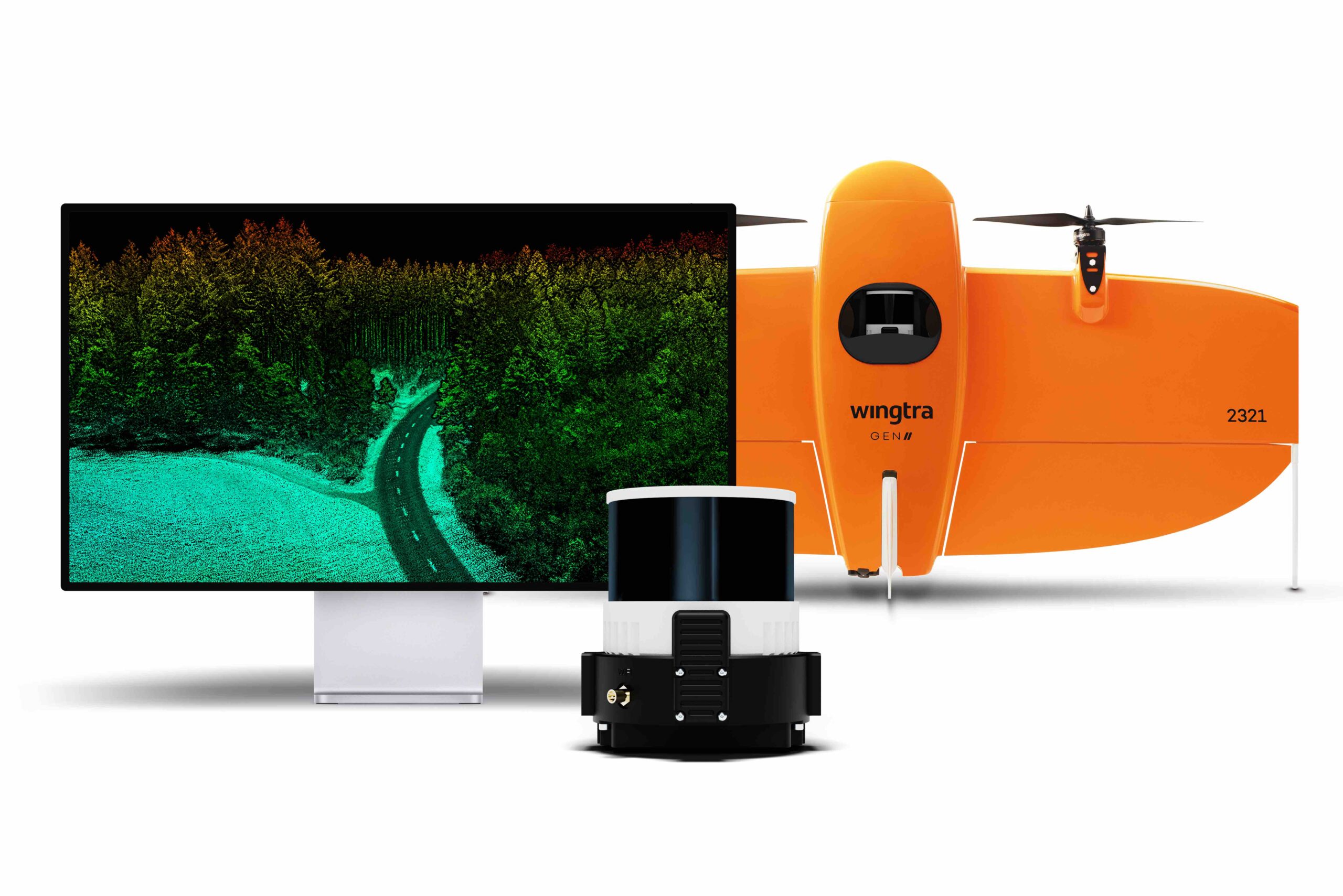
Wingtra Launches Advanced LiDAR Drone Solution
Wingtra, a drone technology company based in Zurich, has introduced a new LiDAR drone mapping solution that combines the WingtraOne ...
No posts found.
No posts found.
No posts found.