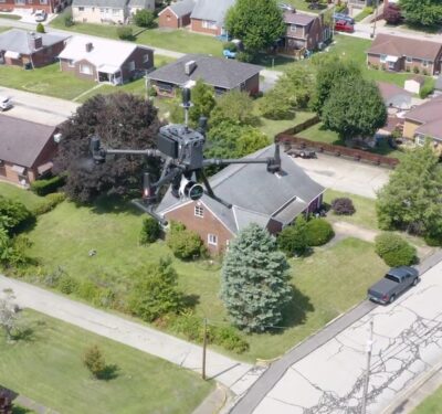
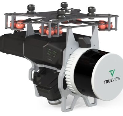
Watch how TrueView 3D Imagery Systems are used in New Episodes of the Reality Series Down to Earth. Bridgeville, PA-…
LiDAR
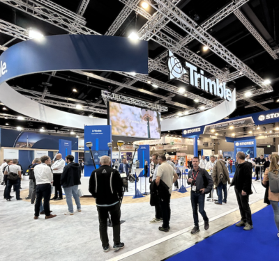
Berlin INTERGEO Dispatch II
To the outsider, INTERGEO 2023 looks like most high-technology trade fairs – a lot of friendly engineers and marketers demonstrating…
As Emesent Turns Five, the CEO Looks Back – and Ahead
Emesent mobile LiDAR scanning units and visualization software can help people make sense of all kinds of challenging environments, but…
GEODNET Takes A Different Approach to GNSS Corrections for Drones, Other Applications
Creating a decentralized GNSS corrections network solves a lot of core issues for ROCK Robotic customers, including asset use. So when CEO Harrison Knoll heard about GEODNET, he knew he wanted to be involved.
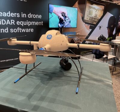
Next-Gen Mapping Hardware and Software coming from GeoCue
Denver, CO- From the floor of Geo Week 2023, LiDAR mapping hardware & software company GeoCue announced new products for…

Riegl Adds VUX-160-23 to a Formidable Scanner Lineup
The recently announced VUX-160-23 is a lightweight LiDAR module that makes Riegl’s renowned, high-performance technology easier than ever to integrate…
GEOCUE Adds Third Camera to LiDAR Scanner
Surveyors and engineers who needed overlapping LiDAR images looking straight down would have found a solution at the GeoCue Group…
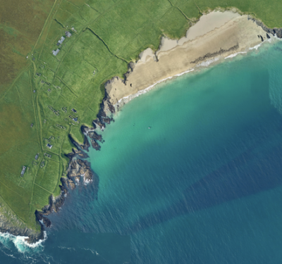
Fugro’s lidar Geo-data supports OPW’s Irish coastal resilience strategies
The Office of Public Works (OPW) has awarded Fugro a contract to acquire, process and publish high-resolution lidar Geo-data of…
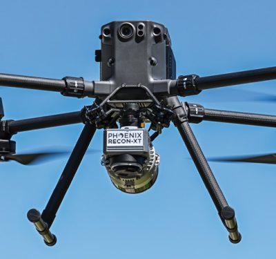
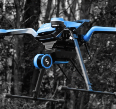
Use Case: Phoenix LiDAR RECON-XT
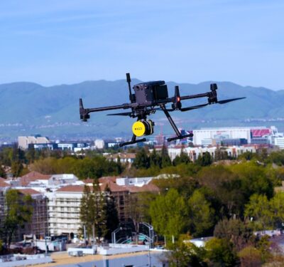
MORE-AFFORDABLE LiDAR SENSORS: A Real–world Deep Dive Explores Whether Smaller, Lighter LiDAR Solutions Deliver

INS Technology Advances LiDAR Surveying Capabilities
Join Adam Barnes, Head of Product at Advanced Navigation, and Ashley Cox, Chief Operating Officer at Cordel, to find out…
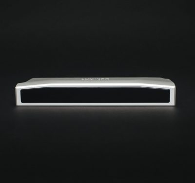
LiDAR Sensors From Luminar Powers Nvidia’s Next-Gen Autonomous Vehicle Development Platform
Automotive LiDAR firm Luminar’s sensors will help power electronics giant Nvidia’s next-generation autonomous vehicle development platform, the companies announced Nov….
Cover More Ground
Microdrones is pleased to announce a special presentation on the newest member of the GE industrial drone line, the mdLIDAR1000LR….
INTERGEO 2021 Live + Digital, September 21-23, 2021: RIEGL Presents Their New Products 2021
INTERGEO is back LIVE in Hanover this year – and RIEGL presents the latest developments in hardware and software at booth 20C.22…
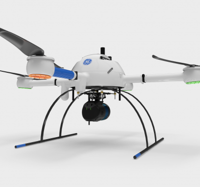
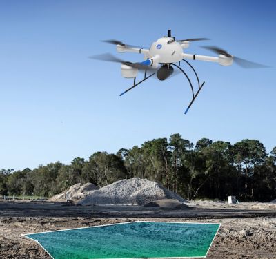
Microdrones and GE Bring Expertise, Scale to the GE Industrial Drone Line
On July 7, high-end UAV solutions company Microdrones and multinational conglomerate GE entered into a licensing partnership to provide powerful…
OxTS Georeferencer 1.3 & 1.5
On Monday, 21st June, 2021 OxTS launched the latest version of their LiDAR Georeferencing software – OxTS Georeferencer 1.4. OxTS…
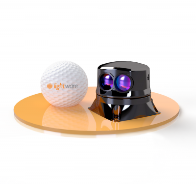
LightWare LiDAR Introduces Small, Lightweight SF45 microLiDAR
LightWare LiDAR recently launched the SF45 microLiDAR, a small, light, scanning LiDAR sensor. The sensor gives drones and other autonomous…
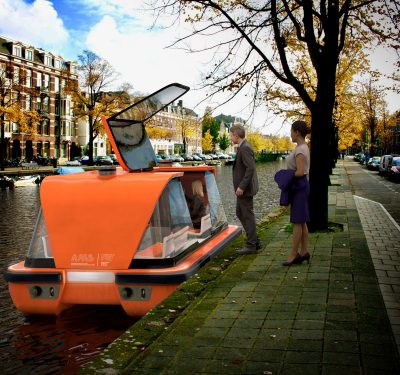
Amsterdam’s Canals Float Fleet of Autonomous Boats for Transport, Waste Collection
Roboat is the world’s first major research program on autonomous floating vessels in metropolitan areas. It enables creation of dynamic…
