Oxford Technical Solutions has released the xNAV650 inertial navigation system (INS), the company’s smallest and lightest INS to date. It…
LiDAR
InterGEO 2020: RIEGL’s UAV-based VUX-120 UAV-LiDAR sensor
No doubt, 2020 has been a very special year, with the pandemic forcing us to think and work in new…
New OEM Hardware/Software for Direct Georeferencing of Airborne Sensor Data
Applanix and Trimble showcase the Trimble AP+ Air OEM solution for Direct Georeferencing of airborne sensor data at the recent…
The High-Performance Accelerometer Brings Greater Stability to UAV Navigation and Control
A revolutionary accelerometer makes possible new levels of stability and control in UAV navigation, at lower cost for the inertial…
GeoCue Introduces New UAS LiDAR Systems
GeoCue recently released the True View 615 and True View 620 UAS LiDAR/imagery 3D imaging systems. Both are equipped with…
Woolpert and iXblue Partner on LiDAR Mapping Projects in New Zealand
Woolpert, Inc. and iXblue Sea Operations Division have been awarded two significant airborne LiDAR program mapping projects that will help…
Thank you for your (LiDAR) Service
A Mountain State academic, a retired Marine Corps general and RedTail LiDAR Systems ease the waterway for a wounded warrior…
Microdrones aaS Offers Greater Accessibility, Affordability
Microdrones, the global aerial mapping technology company, is rolling out a major initiative. MdaaS—Microdrones as a Service—provides a broader market…
A Troubled Bridge Over Muddy Water
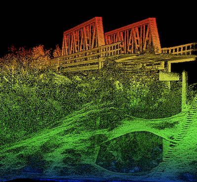
Ah, the Lapalco Bridge. Built in 1972 in Jefferson Parish, Louisiana, the half-mile long span carries numerous commuters and freight…
LiDAR in mapping market expected to pass $4 billion by 2026
The global market for LiDAR in mapping surpassed $900 million in 2019, and is expected to surpass $4 billion by…
Autonomoose Grazes Winter Roads, Gathering Data for Driverless in Snow
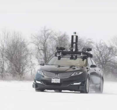
A Lincoln MKZ hybrid carrying a full sensor suite roves the snowy roads of Ontario, recording bad-weather data to empower…
Your Car, Sir
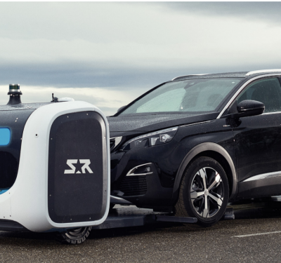
Stan, a fully autonomous outdoor parking valet, is now operational at select airports in Europe. The robot uses GNSS, LiDAR…
Reality Drones: Surveyors Rise to Work Challenges in Video Series
A new online video series and free webinar document the real-life challenges and hazards that professional surveyors encounter using drones…
Advanced LiDAR-on-Chip Builds HD Maps for Autonomy
Draper has advanced its development of a LiDAR-on-a-chip using patented, all-digital MEMS optical switches for light beamsteering to gather the…
LeddarTech Promoting LiDAR Solution at Series of Conferences
LeddarTech, which provides a versatile and scalable auto and mobility LiDAR platform, is pleased to announce that it is participating in…
Applanix Enhances POSPac Trimble Post-Processed CenterPoint RTX Correction Service to Support UAV Mapping Without Base Stations
Applanix, a Trimble Company, announced Tuesday that the POSPac Trimble Post-Processed CenterPoint RTX™ (POSPac PP-RTX) correction service has been enhanced…
Drone Rescue System Meets ASTM Standards, Important FAA Criteria
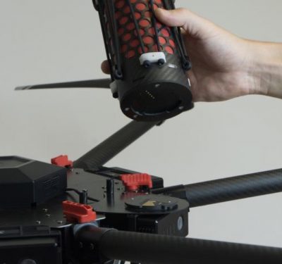
Drone Rescue Systems GmbH tested the parachute safety solution DRS-M600 this summer according to the specifications of the ASTM F3322-18…


