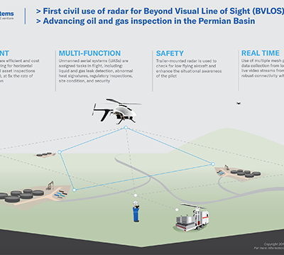
Avitas Systems, a GE venture, recently received approval from the Federal Aviation Administration (FAA) to fly a drone beyond visual…

Input Sought on Aligning US/Canadian Unmanned and Driverless Regulations
The United States government is seeking insights into how it can reduce the regulatory load on the unmanned aviation and…

GSA Funding Opportunity: Enhanced Receiver for Galileo-Based Positioning Engine Meeting Full Automation PVT Performance
The European GNSS Agency (GSA) has opened a call for proposals within its Fundamental Elements funding mechanism, targeting the development of an…

Self-Flying Skydio R1 Device Can Now Be Controlled From Apple Watch
Self-flying Skydio R1 maker Skydio is building on its autonomy capabilities to deliver an entirely new way of controlling this…

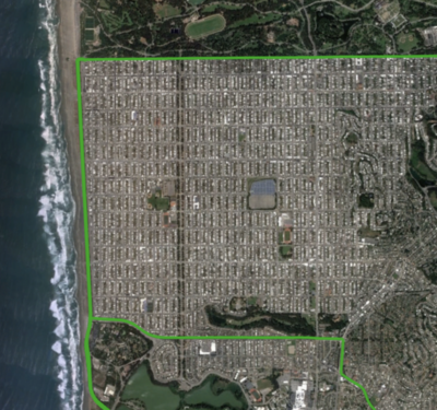
EagleView Technologies Deploys UAS to Capture Imagery after Hurricane Michael
Last Thursday, less than 18 hours after Hurricane Michael hit the Florida Panhandle, EagleView Technologies deployed its unmanned aircraft system…
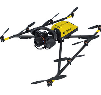
Topcon Edition Provides Added Value for the Intel Falcon 8+ Drone
Topcon Positioning Group announced today the Intel Perpetual License Inspection-Surveying provision for the Intel®Falcon™ 8+ Drone – Topcon®Edition will now…
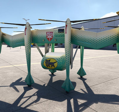
Bell Helicopter and Yamato Announce Collaboration
Bell Helicopter, a Textron company, will be working with Yamato to integrate autonomous unmanned vehicle systems and package handling systems…

USDOT Releases First Joint, Multi-Modal Guidance Document for On-Road Surface Transportation Automation
The U.S. Department of Transportation (USDOT) recently released new Federal guidance for automated vehicles, advancing its commitment to supporting the…

UK Autodrive ‘Pod’ Making it Real
Autonomous vehicle fans don’t have to look far these days for small- to medium-sized people movers under development and on…
Japan-based Terra Drone Acquires Significant Stake in Inkonova
Terra Drone, a global commercial drone technology company, has acquired a significant stake in Swedish aerial robotics for underground mining…

Current State of the Art in Autonomous Vehicles Development the Focus of CASSCA Conference
The Institute of Navigation (ION) is holding a two-day conference on Cognizant Autonomous Systems for Safety Critical Applications (CASSCA). The…
Swift Navigation Introduces Starling and Interoperability with STMicroelectronics’ TeseoAPP and TeseoV Automotive-Grade GNSS Chipsets
San Francisco-based Swift Navigation this week announced an integrated solution for precise automotive positioning applications and its interoperability with automotive-grade…
Boeing and Robotic Skies Form Partnership
Robotic Skies recently formed a partnership with Boeing and subsidiaries Jeppesen and Aviall. Through the partnership, the companies will develop…
Ardenna Offering Real-Time Automated Defect Detection Capability for UAV Payload Integration
Ardenna, a provider in AI-based automated defect detection capabilities, has announced the ability to automatically identify defects using software embedded…

Elistair’s Orion Tethered Drone Provides Security During the Ryder Cup 2018
French authorities used the Orion tethered drone from Elistair for aerial surveillance of the Ryder Cup 2018, which was held…
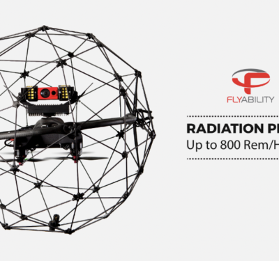
Flyability Elios UAS Withstands High Radiation Dose Rate
Exelon Power Labs recently conducted a test that exposed the Elios drone from Flyability to high levels of radiation while…
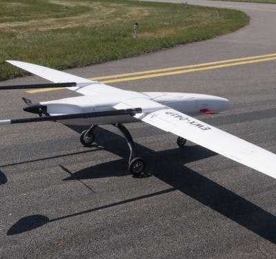
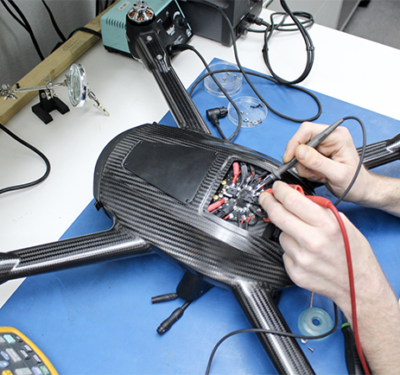
Sitaria Fixed-Wing Drone from UAVOS Successfully Completes Series of Test Flights
The Sitaria fixed-wing unmanned aircraft system (UAS) from UAVOS recently completed a series of test flights. The new system is…
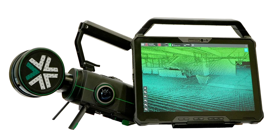
Exyn Technologies Releases Nexys for 3D Mapping in Complex Environments
On February 9, 2024, at GeoWeek, Exyn Technologies announced the launch of Exyn Nexys, a new 3D mapping solution designed ...
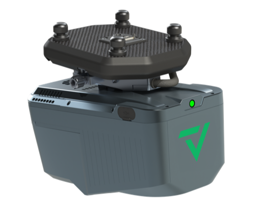
GeoCue and CHC Navigation Introduce TrueView 540 LiDAR System
GeoCue, a provider of geospatial hardware and software, in collaboration with CHC Navigation, a company known for its precision positioning ...
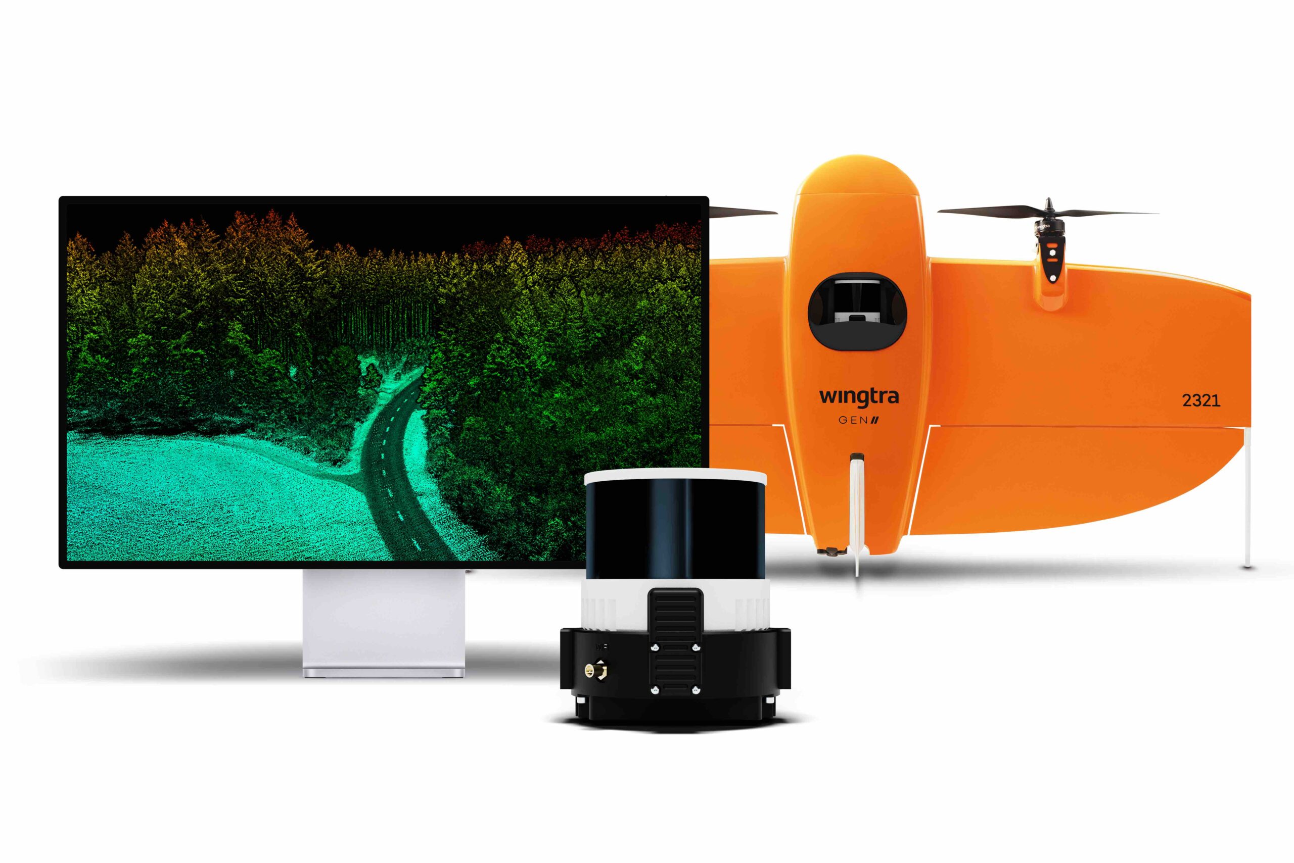
Wingtra Launches Advanced LiDAR Drone Solution
Wingtra, a drone technology company based in Zurich, has introduced a new LiDAR drone mapping solution that combines the WingtraOne ...
HAPS Alliance Publishes White Paper on Regulatory Challenges for High Altitude Operations
The HAPS Alliance, a global consortium dedicated to High Altitude Platform Station (HAPS) stakeholders, has released a white paper titled ...
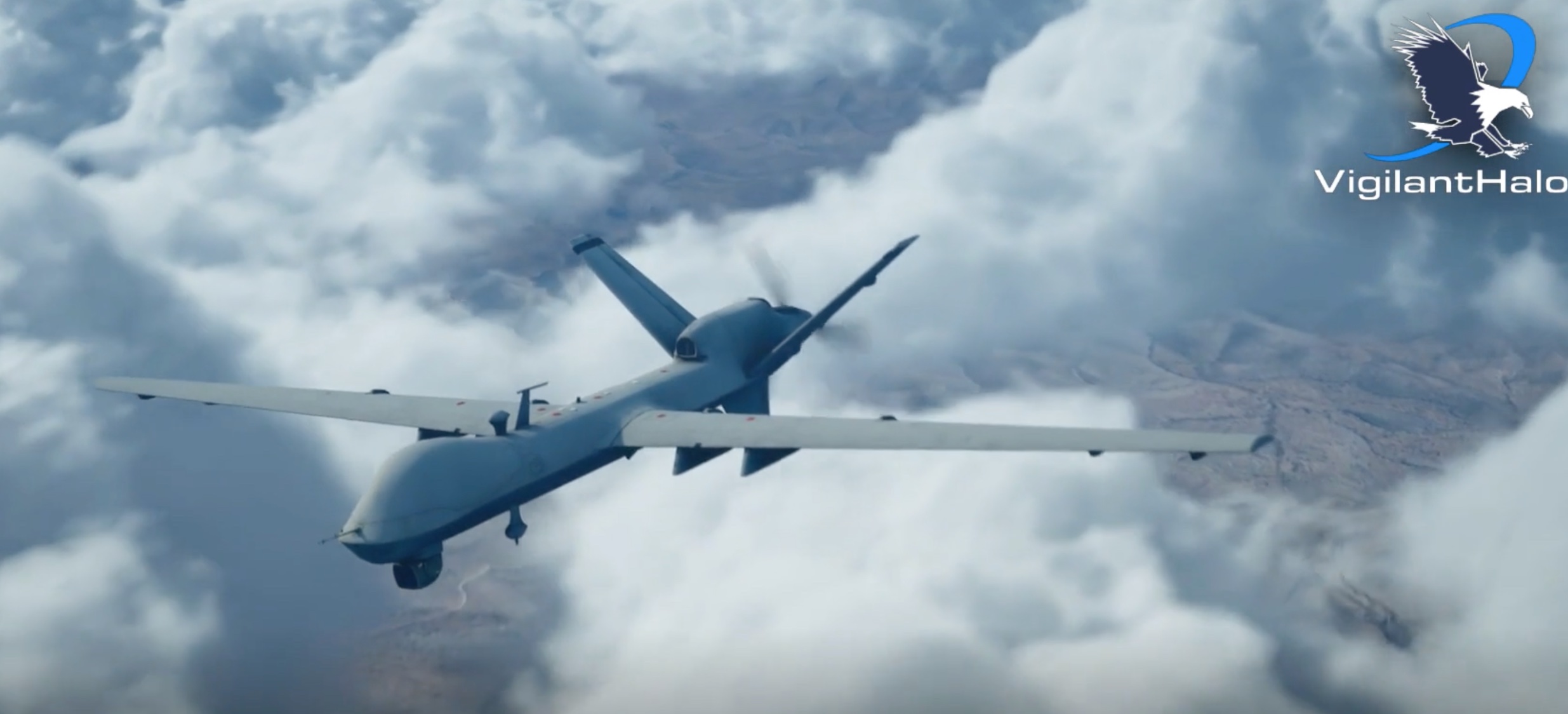
BlueHalo Launches VigilantHalo: A Command and Control System for Uncrewed Airspace Management
BlueHalo has introduced VigilantHalo, a software-based platform designed for real-time command and control (C2) of uncrewed airspace. This system represents ...
No posts found.
No posts found.
No posts found.