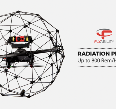
Exelon Power Labs recently conducted a test that exposed the Elios drone from Flyability to high levels of radiation while…
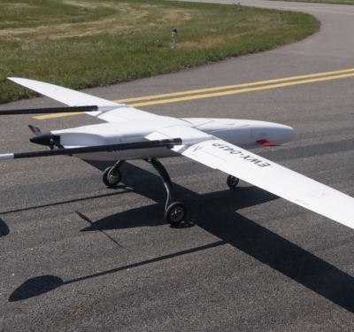
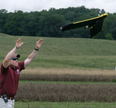
Sitaria Fixed-Wing Drone from UAVOS Successfully Completes Series of Test Flights
The Sitaria fixed-wing unmanned aircraft system (UAS) from UAVOS recently completed a series of test flights. The new system is…
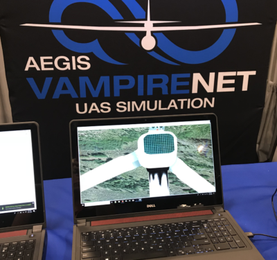
AEgis Technologies Showcasing Drone Training Simulation Solutions at Commercial UAV EXPO
Leveraging 10 years of U.S. Military UAS simulation and training experience, AEgis Technologies recently released Vampire Pro – an affordable,…
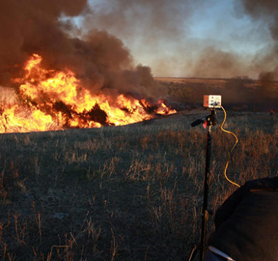
FAA Seeks Comments on Fire-Starting Drone
Aviation regulators are asking for public comment on an exemption for a drone that would, while in flight, release ping…

Airobotics Selects Arizona to Expand its Data-Driven Automated Drone Solution
Israeli automated drone startup Airobotics just launched its North American headquarters in Scottsdale, Arizona, where they will run all North America, South…
UPDATE: Genius NY Deadline Extended to Oct. 14
The deadline to enter the Genius NY program, one of the largest business competitions for unmanned systems in the world,…

Hexagon Provides Newly Integrated Solutions and Platforms
Hexagon’s Positioning Intelligence division (Hexagon PI) is pleased to welcome AutonomouStuff following the completion of the acquisition as announced by…

LeddarTech Delivers First LCA2 LiDAR Chips to Automotive Partners
LeddarTech recently delivered the first A-samples of its LeddarCore LCA2 system-on-chip (SoC) to an automotive partner that will be publicly…

Volvo Trucks Developing Transport Solution that Includes Autonomous Electric Commercial Vehicles
In an effort to provide safer, cleaner and more efficient transportation, Volvo Trucks is developing a transport solution that will…

Racelogic Introduces VBOX Indoor Positioning System
LabSat by Racelogic is looking forward to sharing news on technology developments and product launches at ION GNSS+ in Miami, Sept….
State Farm Receives Waiver from FAA for Hurricane Florence Response
State Farm recently received a waiver from the Federal Aviation Administration (FAA) to operate unmanned aircraft systems (UAS) over people…

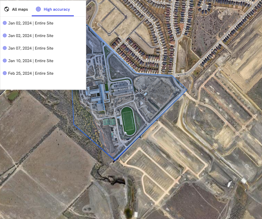
Wingtra to Conduct Demonstrations at InterGEO Next Month
Zurich, Switzerland-based Wingtra, a Vertical Take-Off and Landing(VTOL) drone provider, will be attending InterGEO, an annual conference and trade fair…

GEOSPATIAL Sector the Focus at INTERGEO 2018
If you are interested in innovative products and services in the GEOSPATIAL sector, then you should consider attending INTERGEO October…
Microdrones Offering Free $150 Value of Workshops at Commercial UAV Expo of Americas
Rome, NY — Microdrones will be a main contributor at this year’s Commercial UAV Expo of Americas offering a series…
Drone Startup Airware Shuts Down Operations
Aerial intelligence company Airware, based in San Francisco and founded in 2011, has halted operations and has published a Thank…
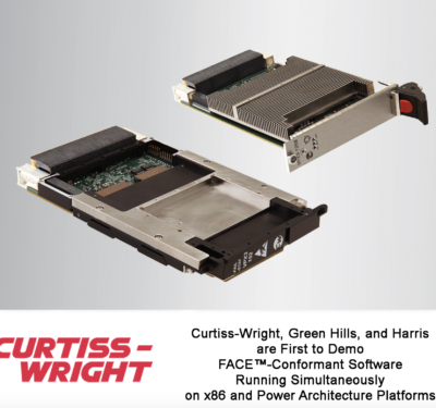
Curtiss-Wright Showcases COTS Hardware and Software Solutions for FACE at U.S. Army FACE Technical Interchange Meeting
Curtiss-Wright’s Defense Solutions division will showcase a range of commercial off-the-shelf (COTS)-based embedded solutions that combine its rugged open architecture…

NovAtel Introduces SMART7 Family of Smart Antennas Designed for Agricultural Applications
NovAtel today launched its new SMART7 family of SMART antennas, adding SPAN technology, future-ready Global Navigation Satellite System (GNSS), Wi-Fi…
Trimble and DroneDeploy Collaborate on Drone Mapping with High-Precision Positioning Service
Trimble announced a collaboration with DroneDeploy to integrate Trimble's Applanix POSPac CloudⓇ post-processed kinematic (PPK) GNSS positioning service, featuring CenterPointⓇ ...
CDA and MIT Lincoln Laboratory Partner on Drone Research to Support BVLOS Operations
The Commercial Drone Alliance (CDA) and the Massachusetts Institute of Technology Lincoln Laboratory (MIT LL) have initiated a research collaboration ...
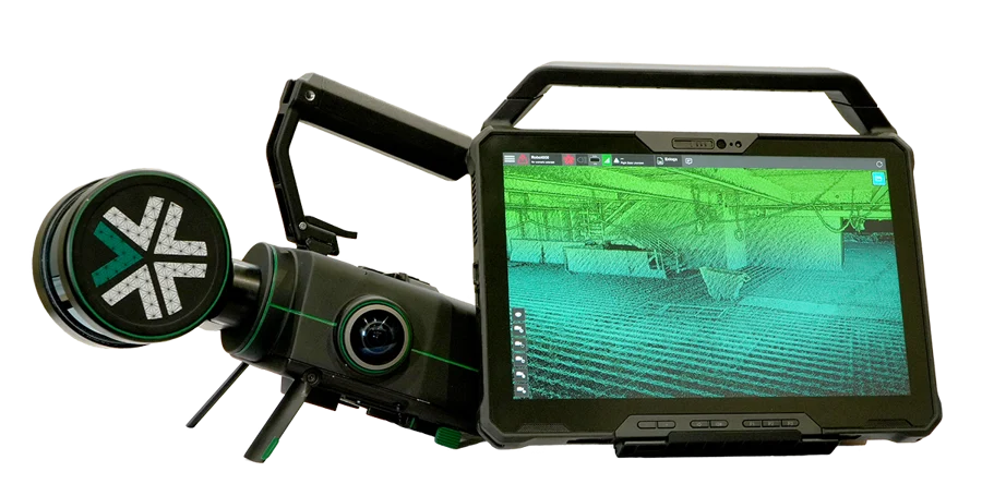
Exyn Technologies Releases Nexys for 3D Mapping in Complex Environments
On February 9, 2024, at GeoWeek, Exyn Technologies announced the launch of Exyn Nexys, a new 3D mapping solution designed ...
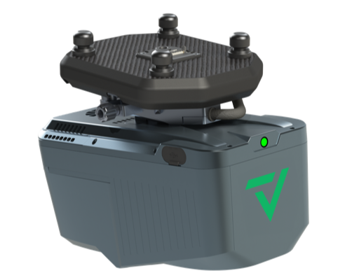
GeoCue and CHC Navigation Introduce TrueView 540 LiDAR System
GeoCue, a provider of geospatial hardware and software, in collaboration with CHC Navigation, a company known for its precision positioning ...
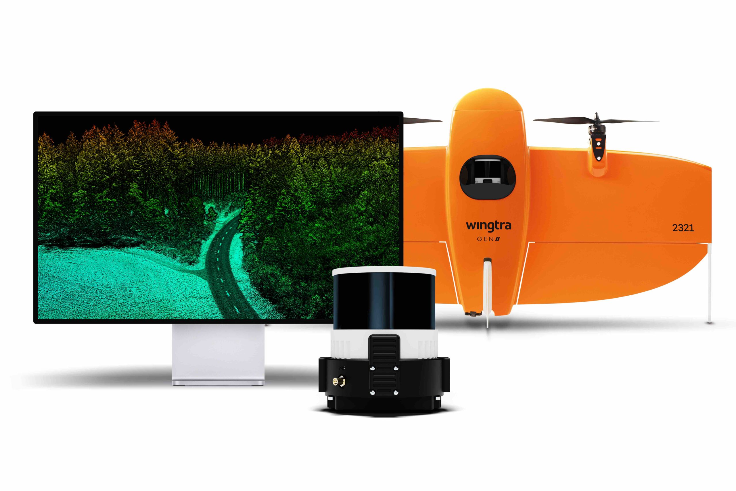
Wingtra Launches Advanced LiDAR Drone Solution
Wingtra, a drone technology company based in Zurich, has introduced a new LiDAR drone mapping solution that combines the WingtraOne ...
No posts found.
No posts found.
No posts found.